London Borough of Hounslow, Hounslow
Map
Facts and practical information
The London Borough of Hounslow is a London borough in West London, England, forming part of Outer London. It was created in 1965 when three smaller Middlesex council areas amalgamated under the London Government Act 1963. It is governed by Hounslow London Borough Council. ()
Address
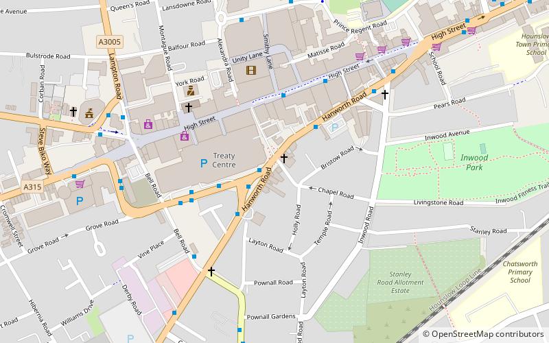
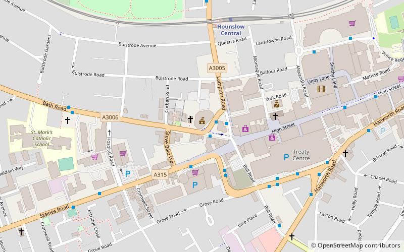
Hounslow (Hounslow Central)Hounslow
ContactAdd
Social media
Add
Day trips


Frequently Asked Questions (FAQ)
Which popular attractions are close to London Borough of Hounslow?
Nearby attractions include Bell Square, Hounslow (6 min walk), Hounslow House, Hounslow (7 min walk), Hounslow Civic Centre, London (15 min walk), Lampton, Hounslow (19 min walk).