Hounslow Civic Centre, London

Gallery (2)
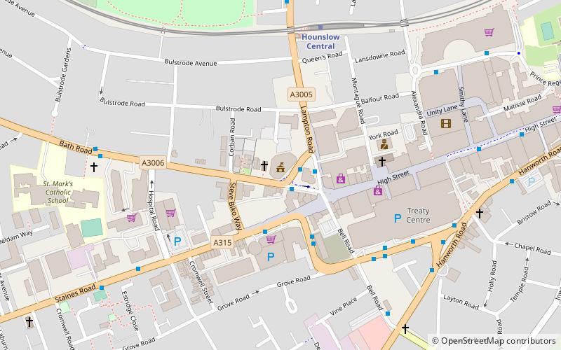
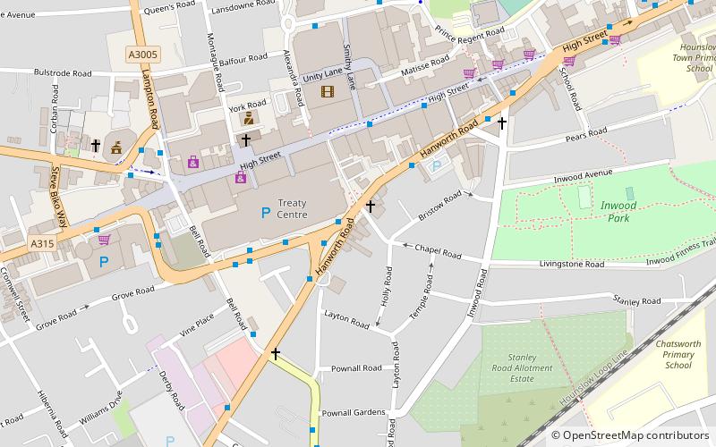
Map
Map
Gallery
Facts and practical information
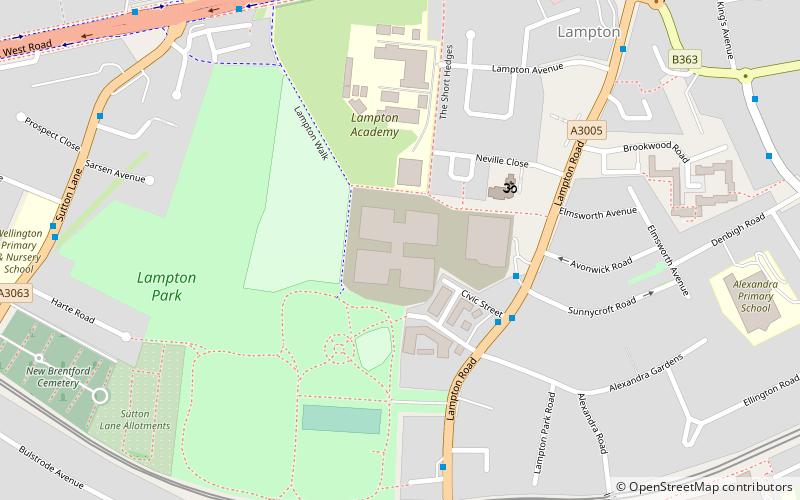
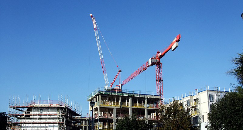
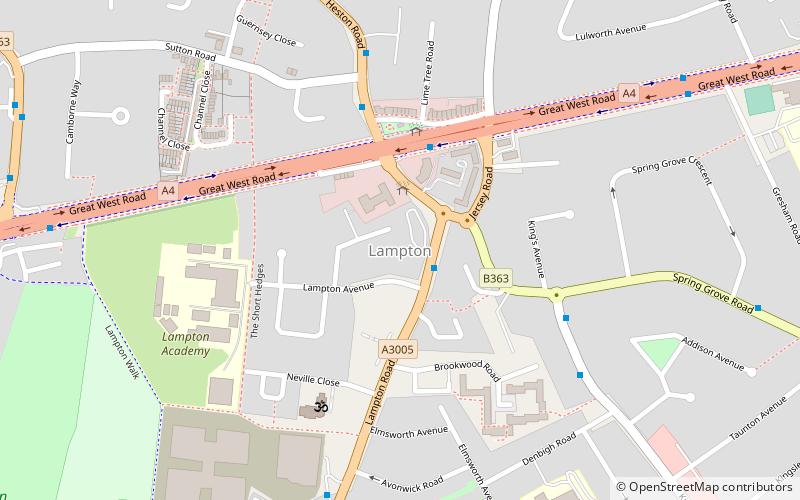
Hounslow Civic Centre was a municipal facility at Lampton in Hounslow, London. The building provided accommodation for many of the offices of Hounslow London Borough Council. ()
Coordinates: 51°28'29"N, 0°22'6"W
Address
Hounslow (Heston East)London
ContactAdd
Social media
Add
Getting there by public transportation
Public transportation stops near this location
- Metro
- Bus
- Train
 Metro
Metro
- Calculate routeHounslow Central Station 6 min walk
- Calculate routeLampton Avenue 8 min walk
- Calculate routeSutton Lane 8 min walk
- Calculate routeWillow Gardens / Great West Road 8 min walk
- Calculate routeHounslow Central 7 min walk
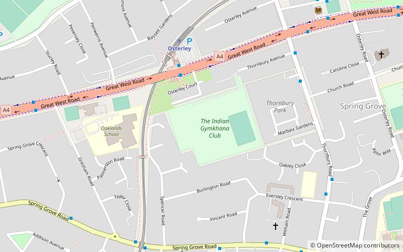
- Calculate routeOsterley 22 min walk
- Calculate routeHounslow 24 min walk
Maps Tube
Tube
TubeDay trips


Frequently Asked Questions (FAQ)
Which popular attractions are close to Hounslow Civic Centre?
Nearby attractions include Lampton, Hounslow (7 min walk), Hounslow House, Hounslow (11 min walk), Bell Square, Hounslow (13 min walk), London Borough of Hounslow, Hounslow (15 min walk).
How to get to Hounslow Civic Centre by public transport?
The nearest stations to Hounslow Civic Centre:
Bus
Metro
Train
Bus
- Hounslow Central Station • Lines: 120, H20 (6 min walk)
- Lampton Avenue • Lines: 120 (8 min walk)
Metro
- Hounslow Central • Lines: Piccadilly (7 min walk)
- Osterley • Lines: Piccadilly (22 min walk)
Train
- Hounslow (24 min walk)