Hounslow Heath, London
Map
Gallery
Facts and practical information
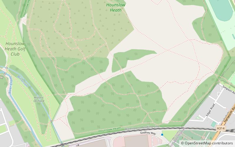
Hounslow Heath is a local nature reserve in the London Borough of Hounslow and at a point borders Richmond upon Thames. The public open space, which covers 200 acres, is all that remains of the historic Hounslow Heath which covered more than 4,000 acres. The present day area is bounded by A315 Staines Road, A3063 Wellington Road South, A314 Hanworth Road, and the River Crane. ()
Area: 31.66 mi²Elevation: 72 ft a.s.l.Coordinates: 51°27'17"N, 0°23'6"W
Day trips
Hounslow Heath – popular in the area (distance from the attraction)
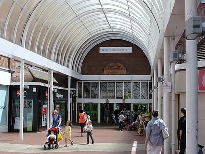
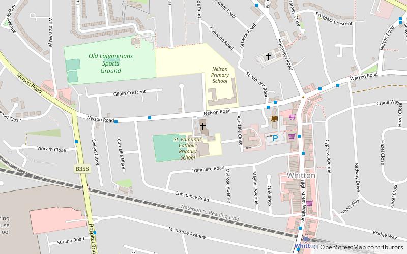
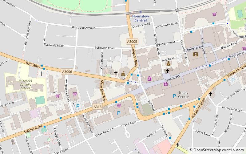
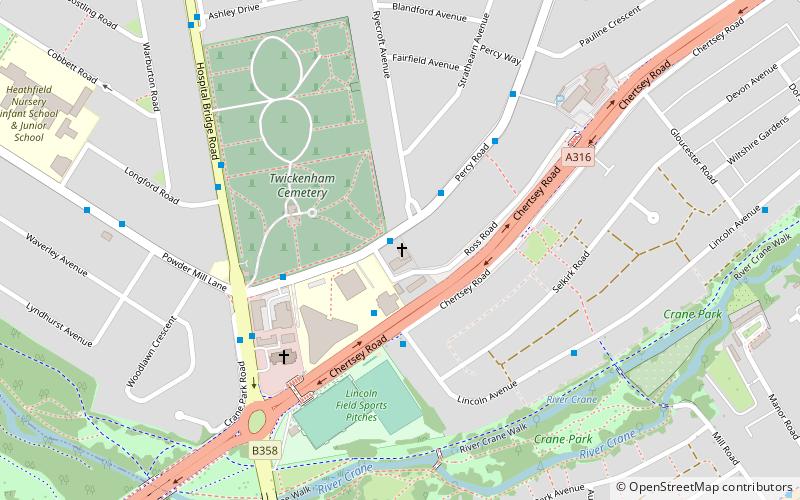
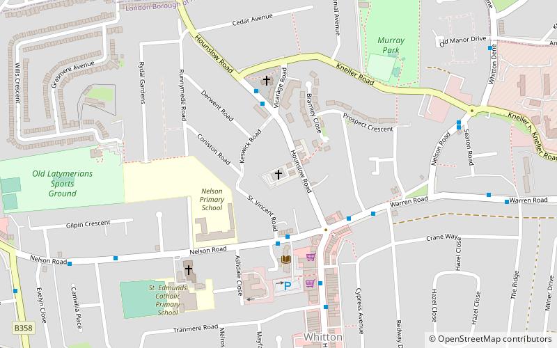
Nearby attractions include: Treaty Centre, Bell Square, St Edmund of Canterbury, Crane Park.
Frequently Asked Questions (FAQ)
Which popular attractions are close to Hounslow Heath?
Nearby attractions include Hounslow Heath Golf Centre, London (9 min walk), Free Grace Baptist Church, London (12 min walk), Pevensey Road Nature Reserve, London (14 min walk), Borough Cemetery, Hounslow (15 min walk).
How to get to Hounslow Heath by public transport?
The nearest stations to Hounslow Heath:
Bus
Train
Metro
Bus
- Godfrey Way • Lines: 110, 111 (10 min walk)
- Simpson Road • Lines: 110, 111 (11 min walk)
Train
- Hounslow (29 min walk)
- Feltham (31 min walk)
Metro
- Hounslow Central • Lines: Piccadilly (36 min walk)

 Tube
Tube