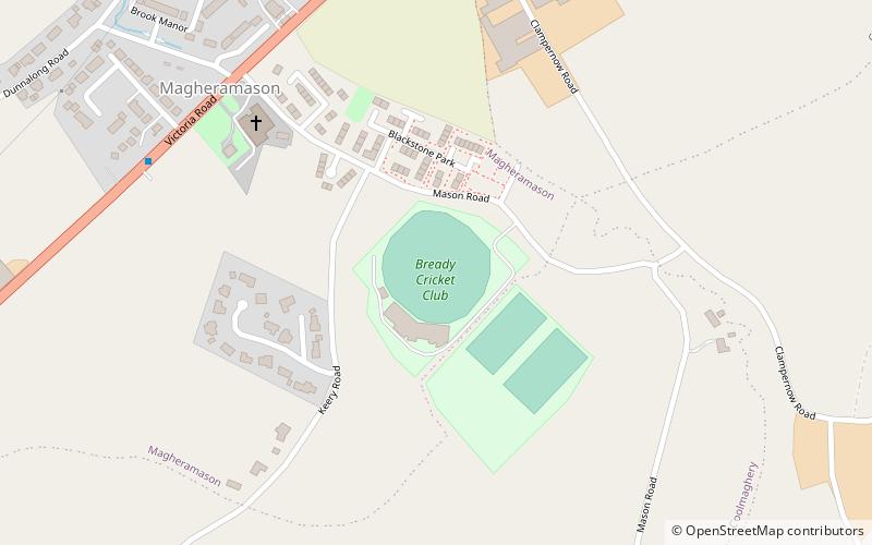
Bready Cricket Club Ground
Map
Facts and practical information
Bready Cricket Club Ground is a cricket ground in the village of Magheramason, County Tyrone, Northern Ireland. The ground is owned by the Bready Cricket Club. The ground became Ireland's fourth venue for international cricket along with The Village in Malahide, Castle Avenue in Dublin and the Civil Service Cricket Club Ground in Belfast. ()
Coordinates: 54°56'15"N, 7°22'54"W
Location
Northern Ireland
ContactAdd
Social media
Add
Day trips