Derry Greyhound Stadium, Derry
Map
Facts and practical information
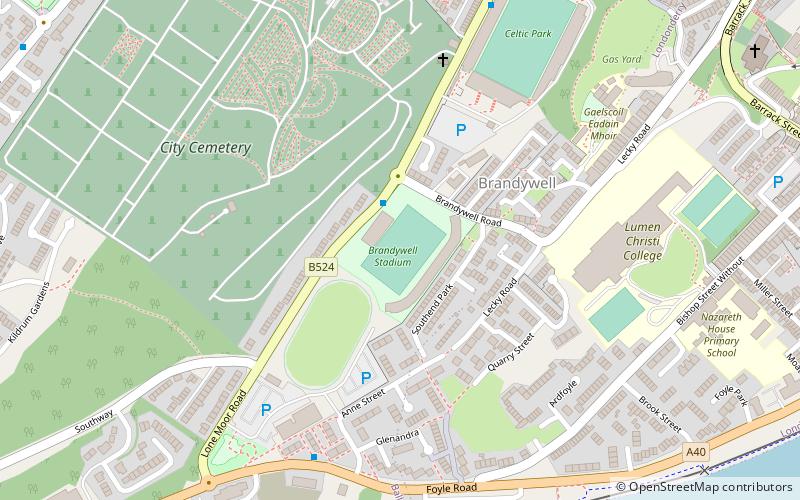
Derry Greyhound Stadium also known as the Brandywell Greyhound Track is the greyhound racing operation held at the Brandywell Showgrounds next to the new Brandywell Stadium in Northern Ireland. The track was relocated from around the football pitch to next door to it, opening in 2018. Racing takes place every Monday evening. ()
Coordinates: 54°59'26"N, 7°20'10"W
Getting there by public transportation
Public transportation stops near this location
- Bus
- Train
 Bus
Bus
- Calculate routeFoyle Bus Station 22 min walk
- Calculate routeLondonderry 24 min walk
Day trips


Frequently Asked Questions (FAQ)
Which popular attractions are close to Derry Greyhound Stadium?
Nearby attractions include Ryan McBride Brandywell Stadium, Derry (1 min walk), City Cemetery, Derry (5 min walk), St Columba's Church, Derry (9 min walk), Derry Gaol, Derry (12 min walk).
How to get to Derry Greyhound Stadium by public transport?
The nearest stations to Derry Greyhound Stadium:
Bus
Train
Bus
- Foyle Bus Station (22 min walk)
Train
- Londonderry (24 min walk)