Castlesteads, Bury
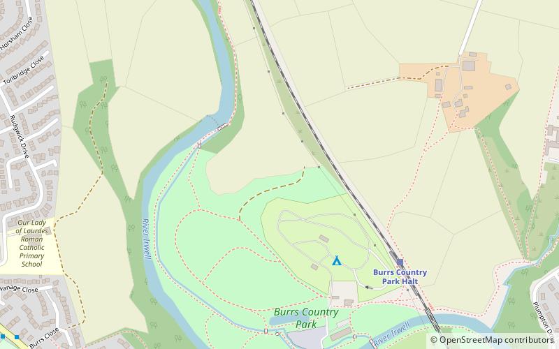
Map
Facts and practical information
Castlesteads is an Iron Age promontory fort, situated on the east bank of the River Irwell on a natural promontory in Bury, Greater Manchester. It is listed as a Scheduled Ancient Monument. Excavated pottery indicates the site was occupied between 200BC and 250AD. ()
Coordinates: 53°36'46"N, 2°18'25"W
Address
Bury
ContactAdd
Social media
Add
Getting there by public transportation
Public transportation stops near this location
- Train
 Train
Train
- Calculate routeBurrs Country Park Halt 5 min walk
- Calculate routeSummerseat 28 min walk
Day trips


Frequently Asked Questions (FAQ)
How to get to Castlesteads by public transport?
The nearest stations to Castlesteads:
Train
Train
- Burrs Country Park Halt (5 min walk)
- Summerseat (28 min walk)