Minster-on-Sea, Isle of Sheppey
#9 among attractions in Isle of Sheppey
![Minster-on-Sea location map](https://tzmedia.b-cdn.net/media/images/static-maps/gb/51_41_0_8.jpg)
Facts and practical information
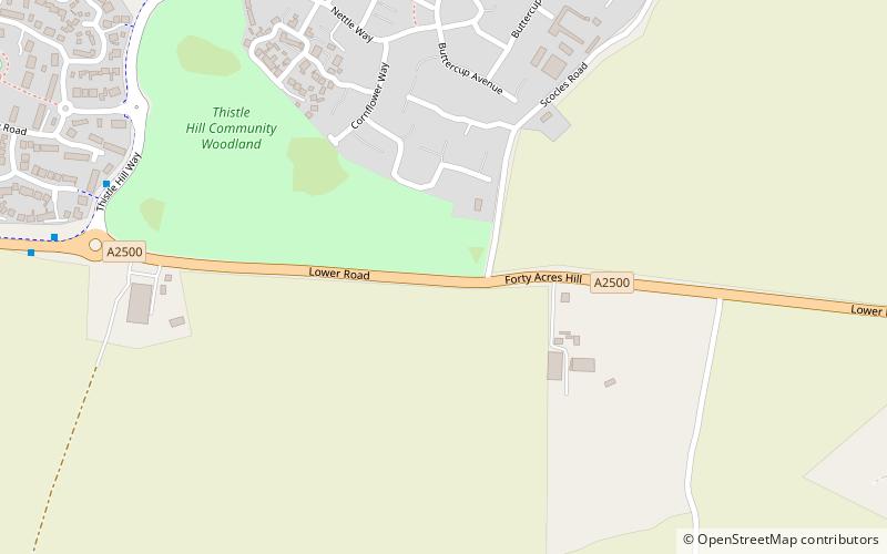
Minster-on-Sea is a civil parish in the English county of Kent. It is on the Isle of Sheppey and thus forms part of the borough of Swale. It was created in 2003. ()
Isle of Sheppey United Kingdom
Isle of Sheppey plan & book
Unleash the traveler in you — discover the cheapest flight deals, find the perfect hotel or hostel nearby, and search for the best car rental prices. Travel at your own pace to discover new places and enjoy your journey.
Minster-on-Sea – popular in the area (distance from the attraction)
Nearby attractions include: Garrison Point Fort, Grain Tower, Kingsferry Bridge, Milton Creek Country Park.
3.5 miNWForts and castlesGarrison Point Fort, Isle of Sheppey
89 min walk • Garrison Point Fort is a former artillery fort situated at the end of the Garrison Point peninsula at Sheerness on the Isle of Sheppey in Kent.
4.1 miNWForts and castlesGrain Tower
106 min walk • Grain Tower is a mid-19th-century gun tower situated offshore just east of Grain, Kent, standing in the mouth of the River Medway.
2.5 miSWBridgeKingsferry Bridge
65 min walk • The Kingsferry Bridge is a combined road and railway vertical-lift bridge which connects the Isle of Sheppey to mainland Kent in South East England. The seven-span bridge has a central lifting span which allows for ships to pass.
4.4 miSWParkMilton Creek Country Park, Sittingbourne
113 min walk • Milton Creek Country Park is situated in 128 acres between Milton Regis and Kemsley, on the west bank of Milton Creek in Sittingbourne, Kent, England. This site was once called Church Marshes Country Park.
2 miNParkBarton's Point Coastal Park, Sheerness
52 min walk • Barton's Point Coastal Park is on the Isle of Sheppey, in Kent, England. It lies between Minster and Sheerness. Within the park is a former military ditch/canal from Marine Parade heading south-westerly towards West Minster.
4.8 miNWForts and castlesGrain Fort
122 min walk • Grain Fort is a former artillery fort located just east of the village of Grain, Kent. It was constructed in the 1860s to defend the confluence of the Rivers Medway and Thames during a period of tension with France.
2.4 miSWBridgeSheppey Crossing, Isle of Sheppey
61 min walk • The Sheppey Crossing is a bridge which carries the A249 road across The Swale, linking the Isle of Sheppey with the mainland of Kent. The four-lane crossing measures 21.5 m in width, at a height of 35 m over the water. The A249 links the M20 and M2 motorways to Sheppey.
2.5 miEMemorialMemorial to the Home of Aviation, Isle of Sheppey
64 min walk • The Memorial to the Home of Aviation is a stone memorial sculpture at Eastchurch, on the Isle of Sheppey in the English county of Kent.
2.3 miWForts and castlesQueenborough Castle, Queenborough
58 min walk • Queenborough Castle, also known as Sheppey Castle, is a 14th-century castle, the remnants of which are in the town of Queenborough on the Isle of Sheppey, Kent in England.
2.6 miNWHistory museum, Museum, TownGreat Mill, Sheerness
66 min walk • Great Mill or Ride's Mill is a Grade II listed smock mill just off the High Street in Sheerness, Kent, England, that was demolished in 1924, leaving the brick base standing. It now has a new smock tower built on it as residential accommodation.
1 miNE51°25'20"N • 0°48'41"EMinster Gatehouse Museum, Isle of Sheppey
25 min walk • Specialty museum, Museum