Colt Crag Reservoir

Gallery (1)
Map
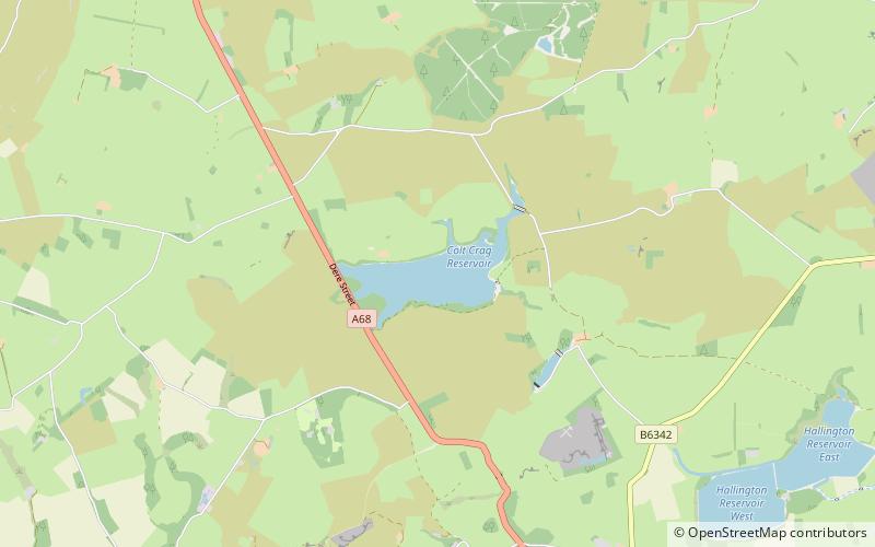
Map
Facts and practical information
Colt Crag Reservoir is a relatively shallow reservoir in Northumberland, England adjacent to the A68 road, and 9 miles north of Corbridge. The A68 road at this point runs along the course of Dere Street, a Roman road. ()
Elevation: 663 ft a.s.l.Coordinates: 55°5'56"N, 2°6'14"W
Location
England
ContactAdd
Social media
Add
Day trips