Sweethope Loughs

Map
Facts and practical information
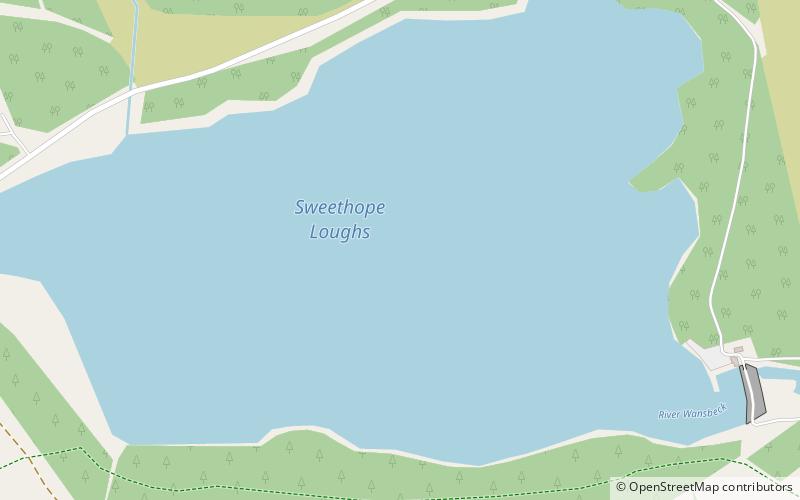
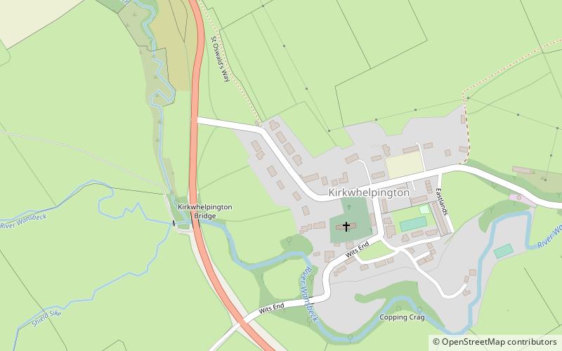
Sweethope Loughs are two freshwater lakes almost 1 mile in length, the smaller one just east of the larger, in the southern part of Northumberland, England and lying between the A68 road, and the A696 road. They lie about 18 miles west of Morpeth; 4 miles west of Kirkwhelpington; and 6 miles east of Bellingham. There is a crossing between the two lakes, which are lined with trees and surrounded by hills. To the north west are Great Wanney Crag and Little Wanney Crag. ()
Elevation: 781 ft a.s.l.Coordinates: 55°8'11"N, 2°5'35"W
Location
England
ContactAdd
Social media
Add
Day trips
Sweethope Loughs – popular in the area (distance from the attraction)
Nearby attractions include: Wallington Hall, Chipchase Castle, Habitancum, Wark Bridge.


