Longfleet, Poole
Map

Map

Facts and practical information
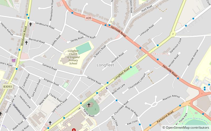
Longfleet is a small district of Poole, Dorset centred on Longfleet Road. It is situated directly north of the town centre and lies to the east of Oakdale and to the south and west of Parkstone. ()
Coordinates: 50°43'29"N, 1°58'13"W
Address
Poole TownPoole
ContactAdd
Social media
Add
Day trips
Longfleet – popular in the area (distance from the attraction)
Nearby attractions include: Dolphin Shopping Centre, Statue of Robert Baden-Powell, Baiter Park, St James' Church.
Frequently Asked Questions (FAQ)
Which popular attractions are close to Longfleet?
Nearby attractions include St Mary's Church, Poole (8 min walk), Bournemouth and Poole College, Bournemouth (11 min walk), Poole Park, Poole (12 min walk), Oakdale, Poole (14 min walk).
How to get to Longfleet by public transport?
The nearest stations to Longfleet:
Bus
Train
Bus
- Garland Road • Lines: 1, 11, 14, 15, 16, 17, 32, m1, m2, One, X6 (3 min walk)
- Birds Hill Gardens • Lines: One (4 min walk)
Train
- Poole Park (10 min walk)
- Poole (18 min walk)


