Featherbed Top, Peak District

Gallery (1)
Map
Map
Facts and practical information
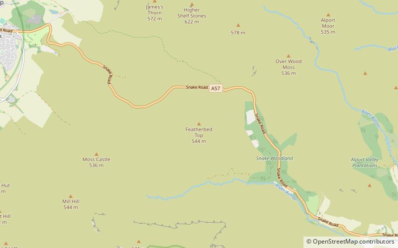
Featherbed Top is an open, flat-topped hill, 544 metres high, in the Peak District in the county of Derbyshire in England. ()
Elevation: 1785 ftProminence: 105 ftCoordinates: 53°25'31"N, 1°51'54"W
Address
Peak District
ContactAdd
Social media
Add
Day trips


