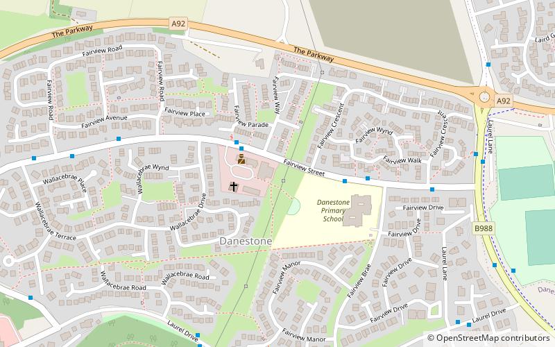
Danestone Congregational Church, Aberdeen
Map
Facts and practical information
Danestone Congregational Church is a Congregational Christian Church located in the Danestone community of the Bridge of Don suburb in Aberdeen, Scotland. Originally established in 1986, the current church building was constructed in 1991. ()
Coordinates: 57°10'58"N, 2°8'8"W
Address
Dyce - Bucksburn - Danestone (Danestone)Aberdeen
ContactAdd
Social media
Add
Getting there by public transportation
Public transportation stops near this location
- Bus
 Bus
Bus
- Calculate routeSmithfield Lane 19 min walk
- Calculate routeMugiemoss Road 20 min walk
- Calculate routeNorth Anderson Drive 20 min walk
- Calculate routeSociety Lane 20 min walk
Day trips


Frequently Asked Questions (FAQ)
Which popular attractions are close to Danestone Congregational Church?
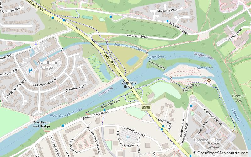
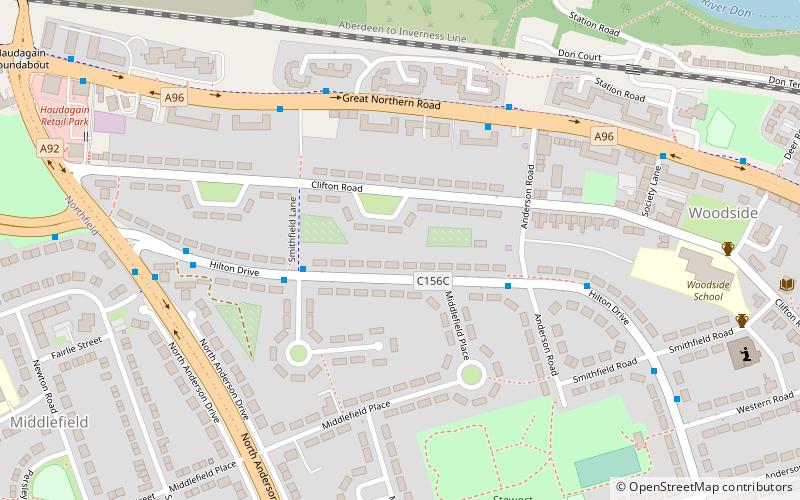
Nearby attractions include Danestone, Aberdeen (3 min walk), Diamond Bridge, Aberdeen (20 min walk), Woodside, Aberdeen (22 min walk).
How to get to Danestone Congregational Church by public transport?
The nearest stations to Danestone Congregational Church:
Bus
Bus
- Smithfield Lane • Lines: 727 (19 min walk)
- Mugiemoss Road • Lines: 727 (20 min walk)