Danestone, Aberdeen
Map
Map

Facts and practical information
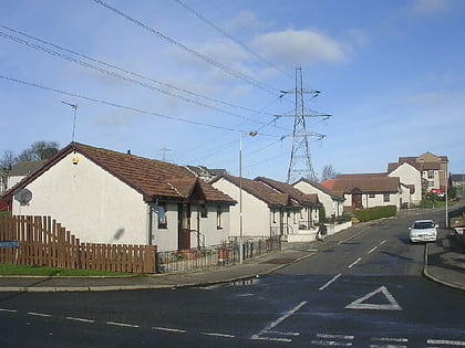
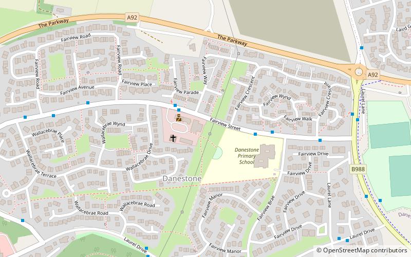
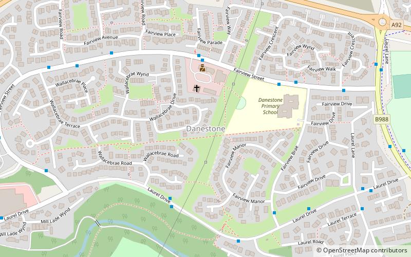
Danestone is a small, village-like area of Aberdeen, Scotland and is part of the suburb of Bridge of Don. ()
Coordinates: 57°10'54"N, 2°8'12"W
Address
Dyce - Bucksburn - Danestone (Danestone)Aberdeen
ContactAdd
Social media
Add
Day trips
Danestone – popular in the area (distance from the attraction)
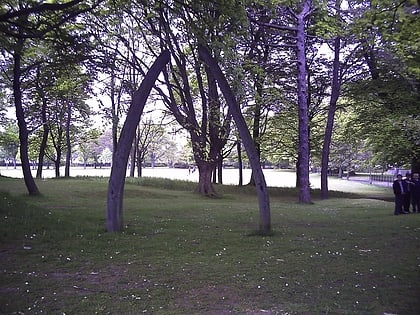
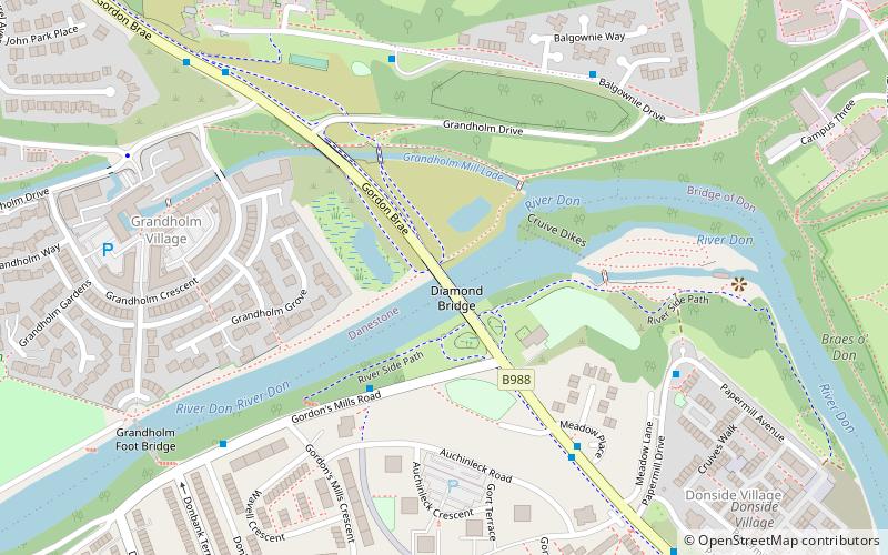
Nearby attractions include: Stewart Park, Cruickshank Botanic Garden, Sir Duncan Rice Library, Diamond Bridge.
Frequently Asked Questions (FAQ)
Which popular attractions are close to Danestone?
Nearby attractions include Danestone Congregational Church, Aberdeen (3 min walk), Woodside, Aberdeen (20 min walk), Diamond Bridge, Aberdeen (20 min walk).
How to get to Danestone by public transport?
The nearest stations to Danestone:
Bus
Bus
- Smithfield Lane • Lines: 727 (17 min walk)
- Mugiemoss Road • Lines: 727 (17 min walk)
