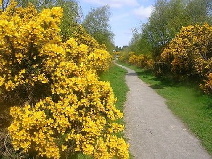
Dyce, Aberdeen
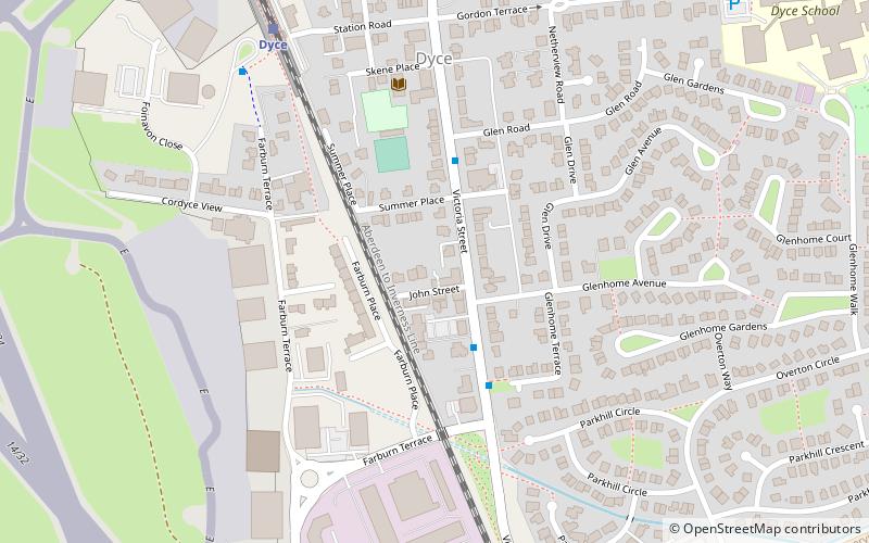
Map
Facts and practical information
Dyce is an area of the city of Aberdeen, Scotland, about 6 miles north west of Aberdeen city centre, and best known as the location of the city's airport. It is on the River Don. ()
Day trips
Dyce – popular in the area (distance from the attraction)
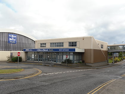
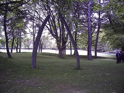
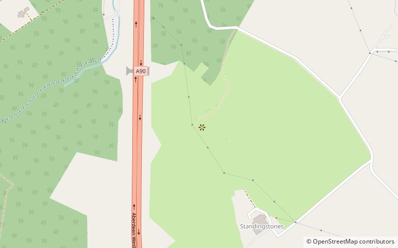
Nearby attractions include: Aberdeen Exhibition and Conference Centre, Stewart Park, Formartine and Buchan Way, Dyce stones.
Frequently Asked Questions (FAQ)
How to get to Dyce by public transport?
The nearest stations to Dyce:
Train
Bus
Train
- Dyce (6 min walk)
Bus
- Shopping Centre & Academy • Lines: 17 (13 min walk)
- Airport Terminal • Lines: 727 (16 min walk)
