Sunderland College, Sunderland
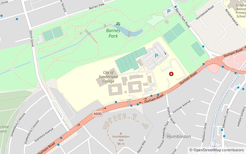
Map
Facts and practical information
Sunderland College, is a further education, higher education college based in Sunderland, North East England. The enrolment includes around 6,300 part-time learners and approximately 4,800 full-time students. A report following a January 2010 Ofsted inspection awarded the school a Grade 2 that included a Grade 1 on 3 inspection criteria. The college is a member of the Collab Group of high performing schools. ()
Coordinates: 54°53'33"N, 1°24'33"W
Getting there by public transportation
Public transportation stops near this location
- Bus
- Light rail
 Bus
Bus
- Calculate routeUniversity 25 min walk
- Calculate routeMillfield 26 min walk
- Calculate routePark Lane 31 min walk
- Calculate routeSunderland 36 min walk
- Calculate routeSunderland Interchange Stand R 30 min walk
- Calculate routeSunderland Interchange 30 min walk
- Calculate routeSt Mary's Way 38 min walk
Day trips


Frequently Asked Questions (FAQ)
Which popular attractions are close to Sunderland College?
Nearby attractions include Barnes Park, Sunderland (4 min walk), Bishopwearmouth Cemetery, Sunderland (18 min walk), Ashbrooke, Sunderland (19 min walk).
How to get to Sunderland College by public transport?
The nearest stations to Sunderland College:
Light rail
Bus
Light rail
- University • Lines: Green (25 min walk)
- Millfield • Lines: Green (26 min walk)
Bus
- Sunderland Interchange Stand R • Lines: Sns (30 min walk)
- Sunderland Interchange • Lines: 426, 436, 905 (30 min walk)