Smethwick Council House

Gallery (1)
Map
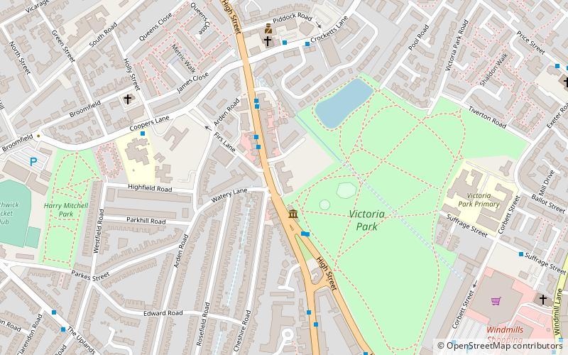
Map
Facts and practical information
Smethwick Council House is a municipal building in the High Street in Smethwick, West Midlands, England. The building, which was the headquarters of Smethwick Borough Council, is a Grade II listed building. ()
Coordinates: 52°29'27"N, 1°58'3"W
Location
England
ContactAdd
Social media
Add
Day trips