Gambier Terrace, Liverpool
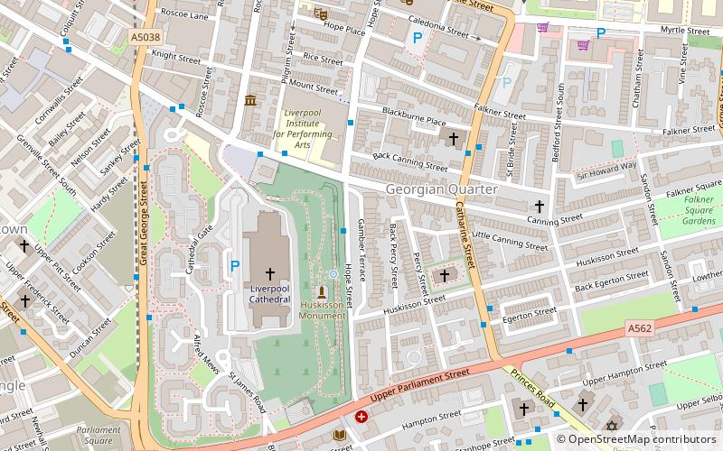
Map
Gallery
Facts and practical information
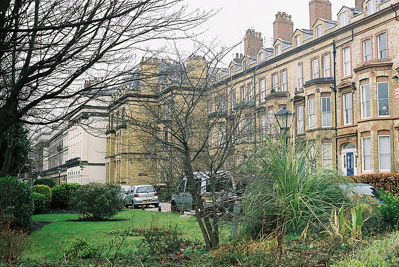
Gambier Terrace is a street of 19th-century houses overlooking St. James's Mount and Gardens and Liverpool Cathedral. It is generally reckoned to be in Canning, although it falls within the Rodney Street conservation area, together with Hope Street and Rodney Street. ()
Elevation: 171 ft a.s.l.Coordinates: 53°23'53"N, 2°58'16"W
Address
Princes ParkLiverpool
ContactAdd
Social media
Add
Day trips
Gambier Terrace – popular in the area (distance from the attraction)
Nearby attractions include: Liverpool Cathedral, The Black-E, The Oratory, Church of St Luke.
Frequently Asked Questions (FAQ)
Which popular attractions are close to Gambier Terrace?
Nearby attractions include St James Cemetery, Liverpool (3 min walk), Liverpool Cathedral, Liverpool (3 min walk), St Bride's Church, Liverpool (3 min walk), Saint Philip Neri Church, Liverpool (3 min walk).
How to get to Gambier Terrace by public transport?
The nearest stations to Gambier Terrace:
Train
Bus
Train
- Liverpool Central (15 min walk)
- Liverpool Lime Street (19 min walk)
Bus
- Pembroke Place Stop P • Lines: 18 (19 min walk)
- Paradise St Interchange • Lines: 500 (20 min walk)


