High Peak Estate, Edale
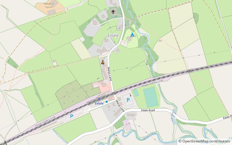
Map

Map

Facts and practical information
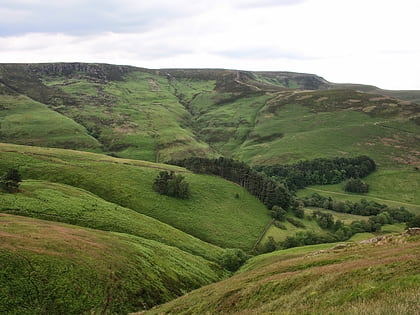
The High Peak Estate is an area of Pennine moorland in the ownership of the National Trust in the Dark Peak area of Derbyshire, England. ()
Coordinates: 53°21'58"N, 1°48'58"W
Address
Edale
ContactAdd
Social media
Add
Day trips
High Peak Estate – popular in the area (distance from the attraction)
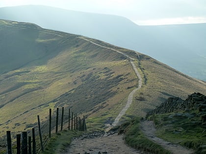
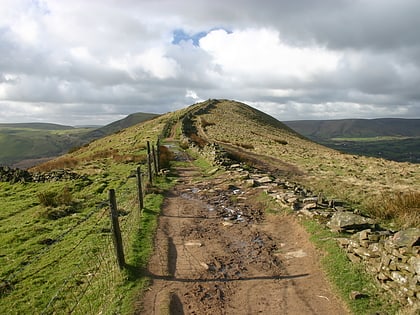
Nearby attractions include: Pennine Way, Mam Tor, Hollins Cross, The Church of the Holy and Undivided Trinity.


