Gipton, Leeds
Map

Gallery

Facts and practical information
Gipton is a suburb of east Leeds, West Yorkshire, England, between the A58 to the north and the A64 to the south. ()
Coordinates: 53°48'33"N, 1°29'38"W
Day trips
Gipton – popular in the area (distance from the attraction)
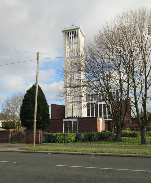
Nearby attractions include: Thackray Museum of Medicine, St Aidan's Church, St Wilfrid's Church, Church of the Epiphany.
Frequently Asked Questions (FAQ)
Which popular attractions are close to Gipton?
Nearby attractions include Church of the Epiphany, Leeds (7 min walk), Fearnville, Leeds (12 min walk), Harehills, Leeds (15 min walk), Wykebeck, Leeds (16 min walk).
How to get to Gipton by public transport?
The nearest stations to Gipton:
Bus
Bus
- Coldcotes Drive Coldcotes Circus • Lines: 4, 4F (1 min walk)
- Wykebeck Valley Road Coldcotes Grove • Lines: 11, 11A (6 min walk)


