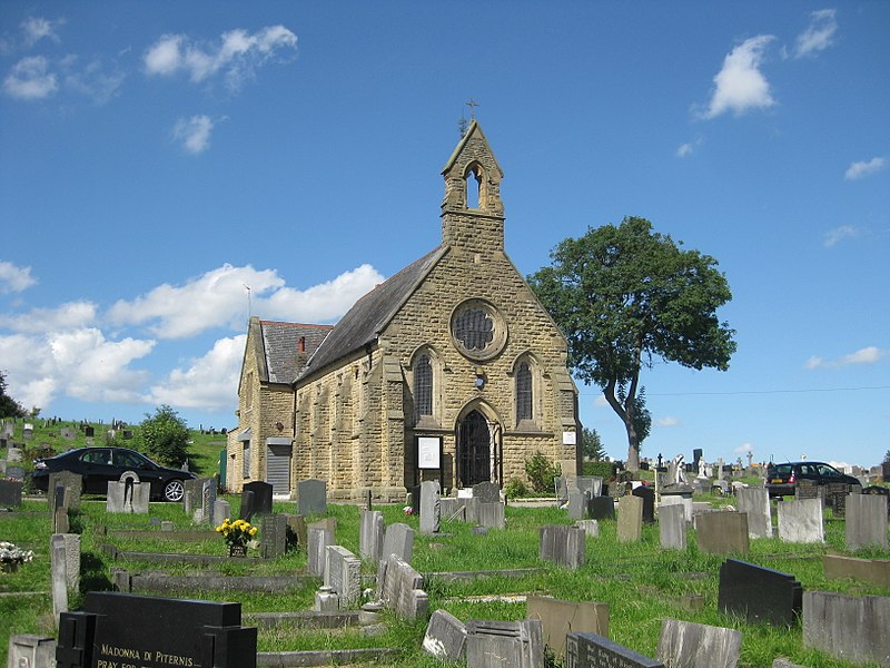
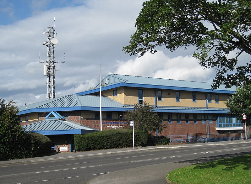
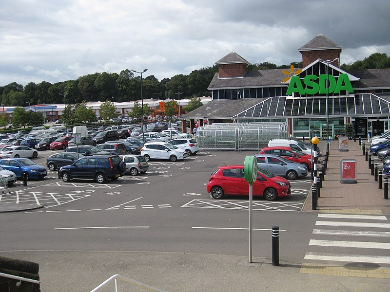
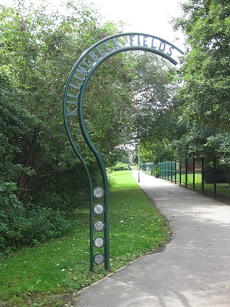
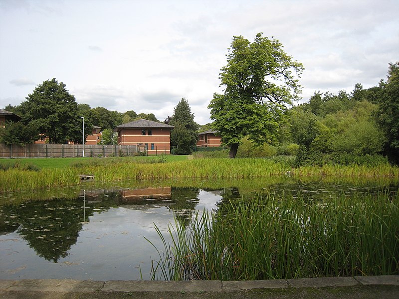
Killingbeck, Leeds

Gallery (10)
Map


Map

Gallery
Facts and practical information
Coordinates: 53°48'11"N, 1°28'56"W
Getting there by public transportation
Public transportation stops near this location
- Bus
 Bus
Bus
- Calculate routeYork Road Highways Flats 2 min walk
- Calculate routeSelby Road Dunhill Rise 5 min walk
Day trips


Frequently Asked Questions (FAQ)
Which popular attractions are close to Killingbeck?
Nearby attractions include Wykebeck, Leeds (4 min walk), St Wilfrid's Church, Leeds (12 min walk), Halton Moor, Leeds (14 min walk), Gipton, Leeds (17 min walk).
How to get to Killingbeck by public transport?
The nearest stations to Killingbeck:
Bus
Bus
- York Road Highways Flats • Lines: 56 (2 min walk)
- Selby Road Dunhill Rise • Lines: 26, 27 (5 min walk)