Fearnville, Leeds
Map

Map

Facts and practical information
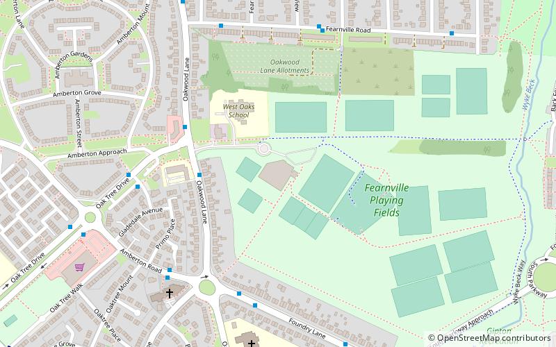
Fearnville is a small area of Leeds which has boundaries with Roundhay, Seacroft, Oakwood, Gipton and Harehills. Fearnville is commonly described as being part of Roundhay or Oakwood, although it is classed as being in the Killingbeck and Seacroft ward. Fearnville had a population of 3,654 in 2011. ()
Coordinates: 53°48'54"N, 1°29'19"W
Address
Burmantofts (Gipton)Leeds
ContactAdd
Social media
Add
Day trips
Fearnville – popular in the area (distance from the attraction)
Nearby attractions include: Thackray Museum of Medicine, Seacroft, St Wilfrid's Church, Church of the Epiphany.
Frequently Asked Questions (FAQ)
Which popular attractions are close to Fearnville?
Nearby attractions include Church of the Epiphany, Leeds (5 min walk), Gipton, Leeds (12 min walk), Killingbeck, Leeds (23 min walk), Wykebeck, Leeds (24 min walk).
How to get to Fearnville by public transport?
The nearest stations to Fearnville:
Bus
Bus
- Wykebeck Valley Road Neath Gardens • Lines: 11, 11A, 4, 4F (8 min walk)
- Coldcotes Drive Oakwood Lane • Lines: 4, 4F (9 min walk)


