Trek Zone

Dunterlie Park, Barrhead
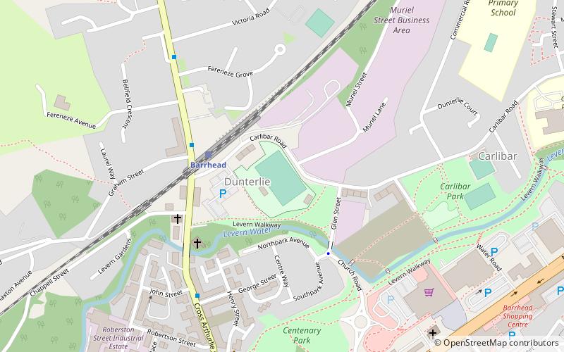
#1 among attractions in Barrhead

Football, Sport, Arenas and stadiums, Sport venue
Dunterlie Park location map
Map

Facts and practical information

Opened: 1919 (105 years ago)Coordinates: 55°48'13"N, 4°23'43"W
Address

Carlibar RdBarrhead United Kingdom

ContactAdd
Social media
Day trips

Dunterlie Park – popular in the area (distance from the attraction)

Nearby attractions include: Silverburn Shopping Centre, Crookston Castle, Stanely Castle, Glasgow Museums Resource Centre.

  • silverburn shopping centre glasgow2.5 miNE
  • crookston castle glasgow2.7 miNE
  • stanely castle paisley2.6 miNW
  • glasgow museums resource centre1.3 miNE
  • brodie park paisley2.4 miNW
  • river cart aqueduct paisley2.6 miN
  • blackhall manor paisley2.4 miN
  • the open museum glasgow location map
    1.3 miNE
  • nitshill glasgow1.5 miNE
  • deaconsbank glasgow2.6 miE
  • south nitshill glasgow1.5 miE

Where to next? Visit scotland Scotland region page or discover the top tourist attractions in United Kingdom.