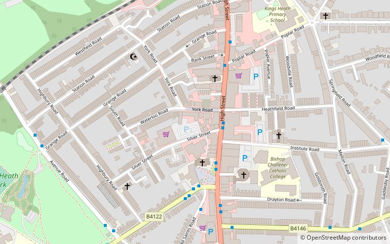
Kings Heath, Birmingham
Map

Map

Facts and practical information
Kings Heath is a suburb of south Birmingham, England, four miles south of the city centre. Historically in Worcestershire, it is the next suburb south from Moseley on the A435, Alcester road. ()
Coordinates: 52°26'3"N, 1°53'39"W
Address
Moseley and Kings HeathBirmingham
ContactAdd
Social media
Add
Day trips
Kings Heath – popular in the area (distance from the attraction)
Nearby attractions include: Cannon Hill Park, Moseley Park, Birmingham Wildlife Conservation Park, Lifford Reservoir.
Frequently Asked Questions (FAQ)
Which popular attractions are close to Kings Heath?
Nearby attractions include Ritz Ballroom, Birmingham (1 min walk), All Saints' Church, Birmingham (2 min walk), Moseley and Kings Heath, Birmingham (6 min walk), Kings Heath Park, Birmingham (9 min walk).
How to get to Kings Heath by public transport?
The nearest stations to Kings Heath:
Bus
Bus
- Salisbury Rd / Moseley Village • Lines: 1, 1A (23 min walk)
- Saint Marys Row / Moseley Village • Lines: 1, 1A (23 min walk)


