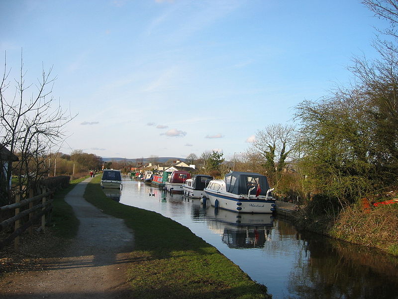
Lancaster Canal, Lancaster
Map
Gallery
Facts and practical information
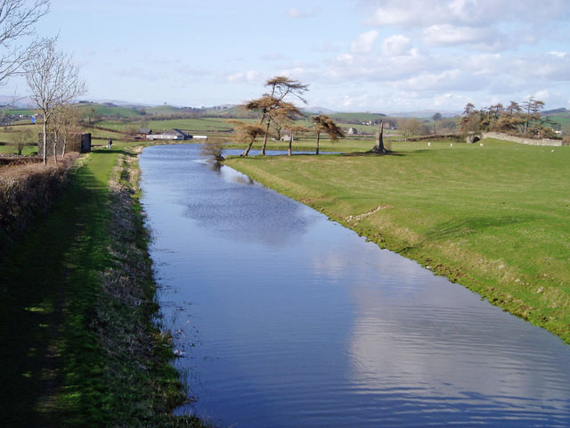
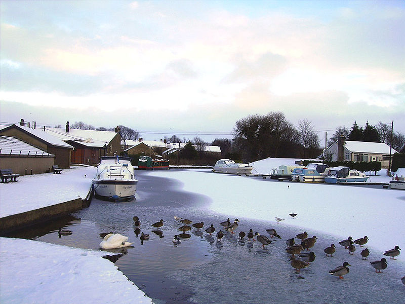
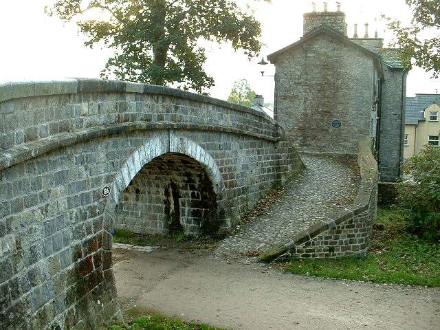
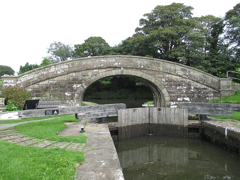
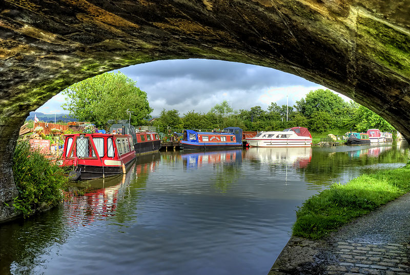
The Lancaster Canal is a canal in North West England, originally planned to run from Westhoughton in Lancashire to Kendal in south Cumbria. The section around the crossing of the River Ribble was never completed, and much of the southern end leased to the Leeds and Liverpool Canal, of which it is now generally considered part. ()
Coordinates: 54°4'0"N, 2°48'0"W
Address
Lancaster
ContactAdd
Social media
Add
Day trips
Lancaster Canal – popular in the area (distance from the attraction)
Nearby attractions include: Lancaster Castle, Lancaster Priory, Judges' Lodgings, Lancaster Maritime Museum.
Frequently Asked Questions (FAQ)
Which popular attractions are close to Lancaster Canal?
Nearby attractions include Skerton, Lancaster (11 min walk), Lune Aqueduct, Lancaster (12 min walk), Skerton Bridge, Lancaster (22 min walk), Carlisle Bridge, Lancaster (23 min walk).
How to get to Lancaster Canal by public transport?
The nearest stations to Lancaster Canal:
Bus
Bus
- Beaumont College • Lines: 55, 555 (3 min walk)
- The Green • Lines: 49, 81A, 81B (6 min walk)


