Widford, Chelmsford

Gallery (1)
Map

Map
Facts and practical information
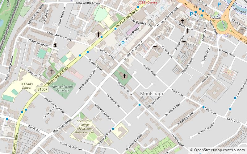
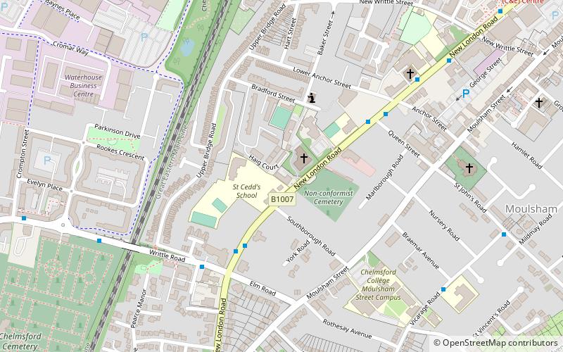
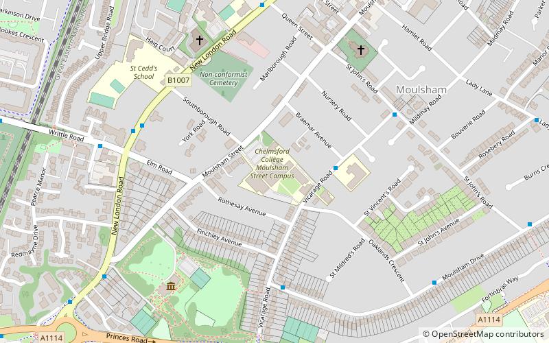
Widford is an area of Chelmsford and former civil parish, now in the unparished area of Chelmsford, in the Chelmsford district, in the county of Essex, England. It is approximately 1.5 miles south-south-west of the city's railway station. It encloses a mixed residential, industrial and rural area south of the River Can, east of the River Wid and mostly to the west of the Great Eastern Main Line. In 1931 the parish had a population of 457. ()
Coordinates: 51°42'47"N, 0°26'49"E
Address
South Hanningfield - Stock - MargarettingChelmsford
ContactAdd
Social media
Add
Getting there by public transportation
Public transportation stops near this location
- Bus
 Bus
Bus
- Calculate routeWidford Road 13 min walk
- Calculate routeHylands Park 13 min walk
- Calculate routeSt. John's Hospital 17 min walk
- Calculate routeBruce Grove 18 min walk
Day trips


Frequently Asked Questions (FAQ)
How to get to Widford by public transport?
The nearest stations to Widford:
Bus
Bus
- Widford Road • Lines: 350, 351 (13 min walk)
- Hylands Park • Lines: 350, 351 (13 min walk)