Medway Valley Walk, Maidstone
Map

Map

Facts and practical information
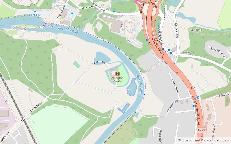
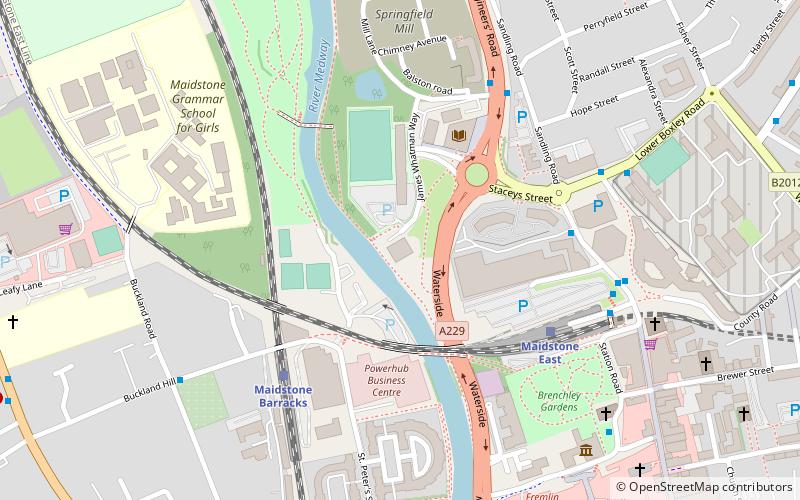
The Medway Valley Walk follows the River Medway from Rochester to Tonbridge. Above Allington, it follows the bank of the Medway Navigation. It starts on the Saxon Shore Way at Rochester. The North Downs Way crosses the Medway Valley Walk at the eastern end of the Medway Viaduct or motorway bridge. The Greensand Way crosses the walk at Yalding. At West Peckham, it is joined by the Wealdway which continues through to Tonbridge, thus linking with the Eden Valley Walk. ()
Length: 27.84 miMaximum elevation: 69 ftSeason: All yearCoordinates: 51°17'37"N, 0°30'41"E
Address
AllingtonMaidstone
ContactAdd
Social media
Add
Day trips
Medway Valley Walk – popular in the area (distance from the attraction)
Nearby attractions include: Fremlin Walk, Kent Life, Gallagher Stadium, Maidstone Museum.
Frequently Asked Questions (FAQ)
Which popular attractions are close to Medway Valley Walk?
Nearby attractions include Allington Castle, Maidstone (1 min walk), Kent Life, Maidstone (9 min walk), Boxley Abbey, Maidstone (20 min walk), Tyland Barn, Maidstone (23 min walk).
How to get to Medway Valley Walk by public transport?
The nearest stations to Medway Valley Walk:
Train
Train
- Maidstone Barracks (30 min walk)
- Maidstone East (30 min walk)


