Taplow Lake, Maidenhead
Map

Map

Facts and practical information
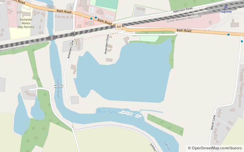
Taplow Lake is a 30-acre lake just south of the A4 between Maidenhead and Slough in Amerden Lane, Buckinghamshire. Recreational activities on the lake include swimming, wakeboarding and waterskiing. ()
Elevation: 72 ft a.s.l.Coordinates: 51°31'13"N, 0°41'21"W
Address
Maidenhead
ContactAdd
Social media
Add
Day trips
Taplow Lake – popular in the area (distance from the attraction)
Nearby attractions include: York Road, The Fat Duck, Maidenhead Railway Bridge, St Michael's Church.
Frequently Asked Questions (FAQ)
Which popular attractions are close to Taplow Lake?
Nearby attractions include Maidenhead Railway Bridge, Maidenhead (14 min walk), Maidenhead Bridge, Maidenhead (16 min walk), All Nations Bible College, Maidenhead (19 min walk), Maidenhead Synagogue, Maidenhead (21 min walk).
How to get to Taplow Lake by public transport?
The nearest stations to Taplow Lake:
Bus
Train
Bus
- The Dumb Bell • Lines: 15, 4, 63, 68 (5 min walk)
- Marsh Lane • Lines: 15, 4, 63, 68 (10 min walk)
Train
- Taplow (10 min walk)


