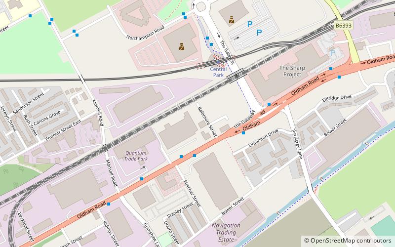
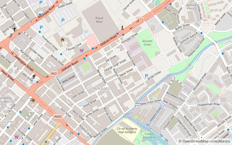
Manchester Central, Manchester
Map

Map

Facts and practical information
Manchester Central corps of the Salvation Army is the main Salvation Army church in the city of Manchester. ()
Coordinates: 53°30'0"N, 2°12'0"W
Day trips
Manchester Central – popular in the area (distance from the attraction)
Nearby attractions include: City of Manchester Stadium, National Cycling Centre, Broadhurst Park, Manchester Velodrome.
Frequently Asked Questions (FAQ)
Which popular attractions are close to Manchester Central?
Nearby attractions include St Augustine's Church, Manchester (11 min walk), Newton Heath, Manchester (16 min walk), Philips Park, Manchester (18 min walk), Collyhurst, Manchester (23 min walk).
How to get to Manchester Central by public transport?
The nearest stations to Manchester Central:
Tram
Bus
Tram
- Central Park • Lines: EDid, Roch, Shaw (3 min walk)
- Monsall • Lines: EDid, Roch, Shaw (12 min walk)
Bus
- Hulme Hall Lane/Oldham Road • Lines: 53 (14 min walk)
- Queens Road/Sedgeford Road • Lines: 53 (15 min walk)

 Metrolink
 Metrolink / Rail


