Weetwood Playing Fields, Leeds

Gallery (1)
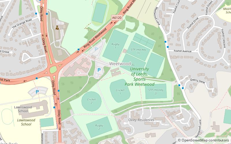
Map
Map
Facts and practical information
Weetwood Playing Fields is a sports facility of the University of Leeds located in the Leeds suburb of Weetwood, West Yorkshire, England. ()
Coordinates: 53°50'16"N, 1°35'21"W
Address
Ring RoadWeetwoodLeeds
ContactAdd
Social media
Add
Getting there by public transportation
Public transportation stops near this location
- Bus
 Bus
Bus
- Calculate routeOtley Road Ring Road West Park 5 min walk
- Calculate routeLawnswood School 6 min walk
- Calculate routeOtley Old Road The Grange Road 8 min walk
Day trips


Frequently Asked Questions (FAQ)
Which popular attractions are close to Weetwood Playing Fields?
Nearby attractions include West Park, Leeds (10 min walk), Far Headingley, Leeds (17 min walk), Moor Grange, Leeds (19 min walk), St Chad's Church, Leeds (19 min walk).
How to get to Weetwood Playing Fields by public transport?
The nearest stations to Weetwood Playing Fields:
Bus
Bus
- Otley Road Ring Road West Park • Lines: 6, 8, X84 (5 min walk)
- Lawnswood School • Lines: 6, 8 (6 min walk)