Thorndon Park, Brentwood
Map

Map

Facts and practical information
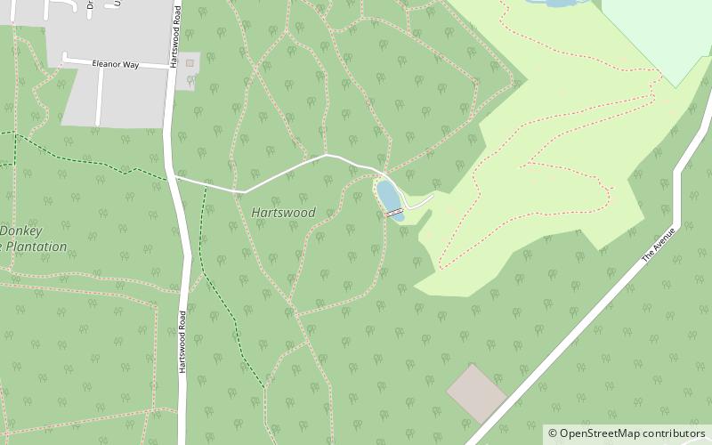
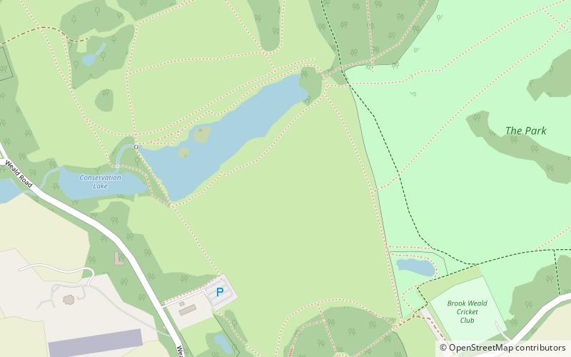
Thorndon Park is a 141.4 hectare biological Site of Special Scientific Interest in Brentwood in Essex. Part of it is run by Essex County Council as Thorndon Country Park, and the Essex Wildlife Trust manages its visitor centre. ()
Area: 0.77 mi²Coordinates: 51°36'18"N, 0°18'54"E
Address
Brentwood
ContactAdd
Social media
Add
Day trips
Thorndon Park – popular in the area (distance from the attraction)
Nearby attractions include: Brentwood Cathedral, Thames Chase, Brentwood Town Hall, Roomes.
Frequently Asked Questions (FAQ)
How to get to Thorndon Park by public transport?
The nearest stations to Thorndon Park:
Bus
Train
Bus
- Uplands Road • Lines: 71, 72 (10 min walk)
- Hartswood Road • Lines: 71, 72 (11 min walk)
Train
- Brentwood (22 min walk)


