Burghfield Bridge, Reading
Map

Map

Facts and practical information
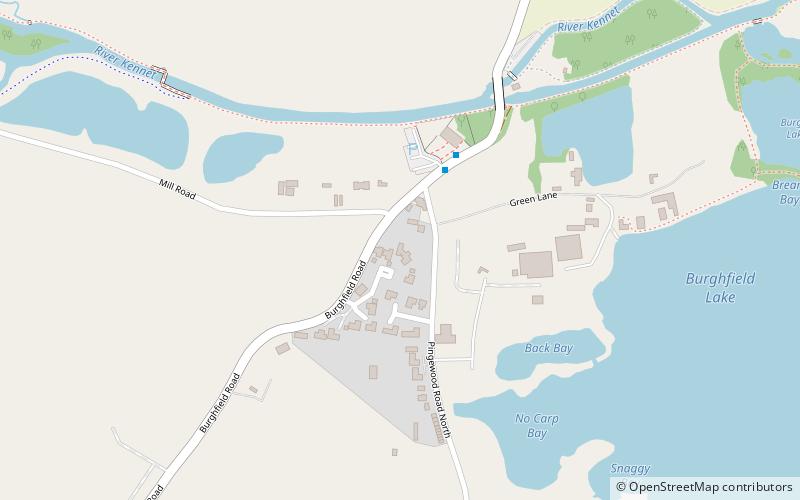
Burghfield Bridge is a bridge and a hamlet in the civil parish of Burghfield, which stands to the south of it in the English county of Berkshire. The settlement is situated between the village of Burghfield and the Reading suburb of Southcote. In 2006, the Reading Chronicle named the hamlet as one of the most desirable places to live in the Reading area. ()
Coordinates: 51°25'48"N, 1°1'24"W
Address
Reading
ContactAdd
Social media
Add
Day trips
Burghfield Bridge – popular in the area (distance from the attraction)
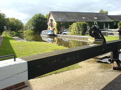
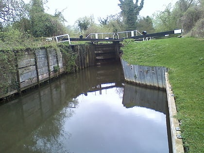
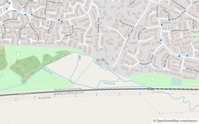
Nearby attractions include: Calcot Park, Southcote Lock, Burghfield Lock, Burghfield.
Frequently Asked Questions (FAQ)
Which popular attractions are close to Burghfield Bridge?
Nearby attractions include Burghfield Lock, Reading (12 min walk), Calcot Mill, Reading (22 min walk), Southcote Lock, Reading (24 min walk).
How to get to Burghfield Bridge by public transport?
The nearest stations to Burghfield Bridge:
Train
Bus
Train
- Amnerfield Miniature Railway (20 min walk)
Bus
- Dwyer Road • Lines: 2/2a (21 min walk)
- Greenwood Road • Lines: 1 (25 min walk)


