Calcot Park, Reading
Map

Gallery

Facts and practical information
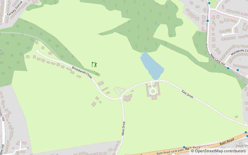
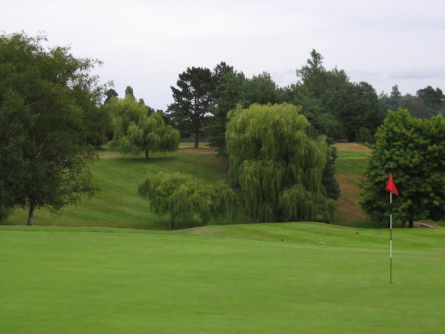
Calcot Park is a country house, estate, and golf club in the English county of Berkshire. It is situated between Calcot and Tilehurst, suburbs of the town of Reading, and within the civil parish of Tilehurst. It is north of the Bath Road. ()
Coordinates: 51°26'47"N, 1°2'10"W
Address
CalcotReading
ContactAdd
Social media
Add
Day trips
Calcot Park – popular in the area (distance from the attraction)
Nearby attractions include: Oxford Road, Prospect Park, Burghfield Lock, Blundells Copse.
Frequently Asked Questions (FAQ)
Which popular attractions are close to Calcot Park?
Nearby attractions include Church of St Michael, Reading (11 min walk), Calcot Mill, Reading (15 min walk), Tilehurst Water Tower, Reading (16 min walk), Blundells Copse, Reading (19 min walk).
How to get to Calcot Park by public transport?
The nearest stations to Calcot Park:
Bus
Bus
- Calcot Mill Lane • Lines: 1 (7 min walk)
- Calcot Golf West Gate • Lines: 1 (7 min walk)


