Calcot Mill, Reading

Map
Facts and practical information
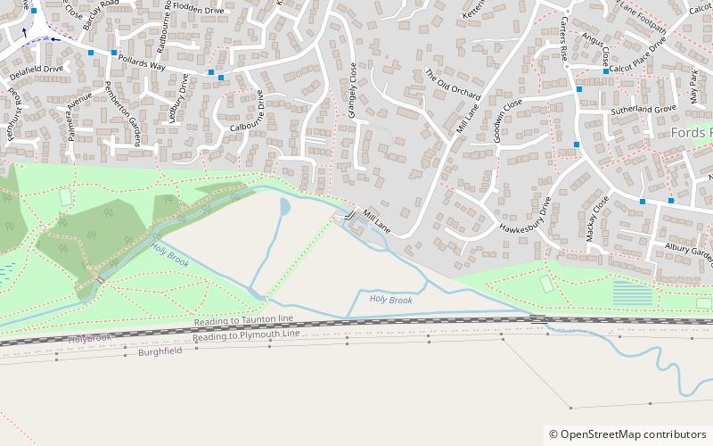
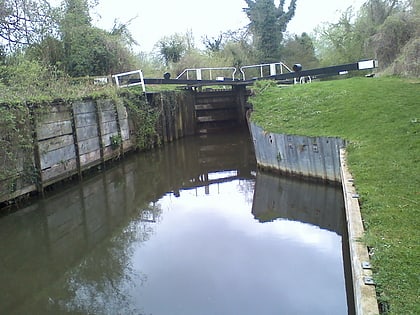
Calcot Mill is an historic former watermill on the Holy Brook, a channel of the River Kennet in the English county of Berkshire. The mill is situated in the civil parish of Holybrook and to the south of Calcot, a suburb of Reading. ()
Coordinates: 51°26'17"N, 1°2'18"W
Address
CalcotReading
ContactAdd
Social media
Add
Day trips
Calcot Mill – popular in the area (distance from the attraction)
Nearby attractions include: Calcot Park, Burghfield Lock, Church of St Michael, Tilehurst Water Tower.
Frequently Asked Questions (FAQ)
Which popular attractions are close to Calcot Mill?
Nearby attractions include Burghfield Lock, Reading (11 min walk), Burghfield Bridge, Reading (22 min walk).
How to get to Calcot Mill by public transport?
The nearest stations to Calcot Mill:
Bus
Bus
- Calcot Golf West Gate • Lines: 1 (8 min walk)
- Murdochs • Lines: 1 (11 min walk)


