Moss Side, Manchester
Map

Map

Facts and practical information
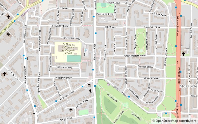
Moss Side is an inner-city area of Manchester, England, 1.9 miles south of the city centre, It had a population of 18,902 at the 2011 census. Moss Side is bounded by Hulme to the north, Chorlton-on-Medlock, Rusholme and Fallowfield to the east, Whalley Range to the south, and Old Trafford to the west. ()
Address
Moss SideManchester
ContactAdd
Social media
Add
Day trips
Moss Side – popular in the area (distance from the attraction)
Nearby attractions include: Manchester Aquatics Centre, Manchester Museum, Whitworth Art Gallery, O2 Apollo Manchester.
Frequently Asked Questions (FAQ)
Which popular attractions are close to Moss Side?
Nearby attractions include Alexandra Park, Manchester (9 min walk), Church of St Mary, Manchester (10 min walk), Whalley Range, Manchester (14 min walk), Darul Amaan Mosque, Manchester (17 min walk).
How to get to Moss Side by public transport?
The nearest stations to Moss Side:
Bus
Tram
Bus
- Moss Lane West/Chichester Road • Lines: 15 (8 min walk)
- Upper Chorlton Road/Brook's Bar • Lines: 15 (9 min walk)
Tram
- Firswood • Lines: Airp, Dean, EDid, Roch, Shaw, Vict (29 min walk)
- Trafford Bar • Lines: Airp, Altr, Bury, Dean, EDid, Picc, Roch, Shaw, Vict (29 min walk)

 Metrolink
 Metrolink / Rail


