Wanstead, London
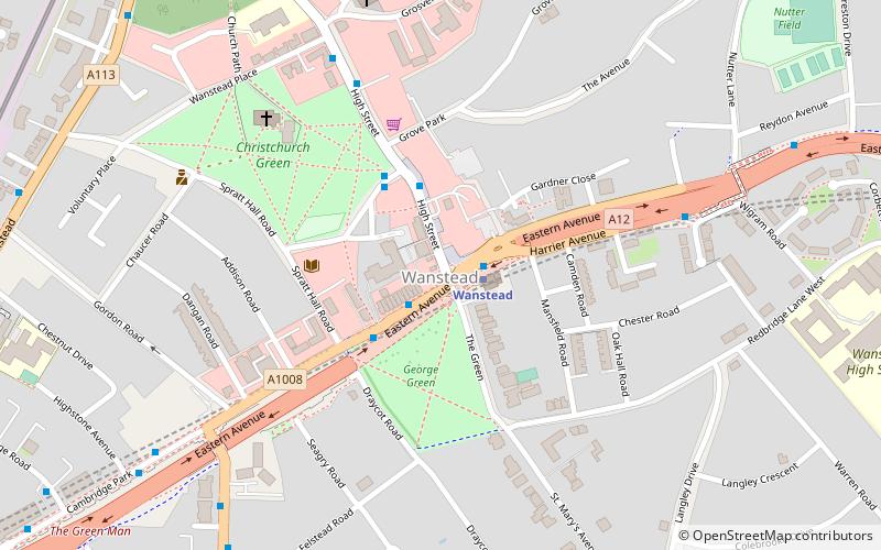
Map
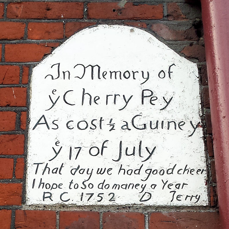
Gallery
Facts and practical information
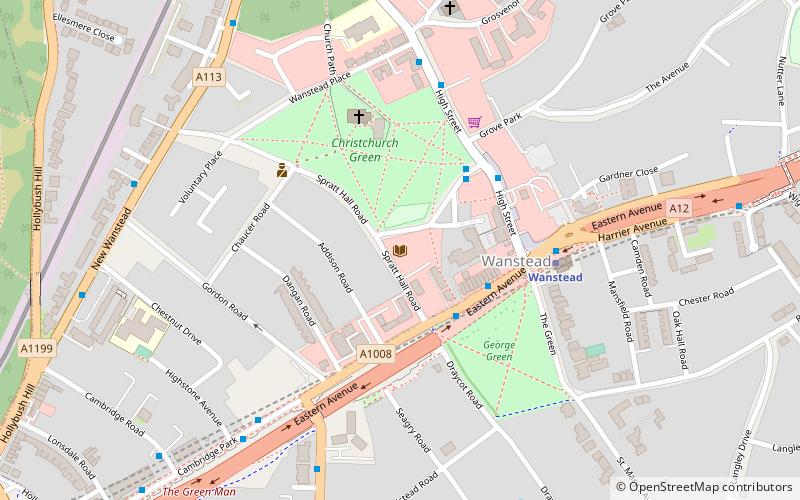
Wanstead is a town in East London, England, in the London Borough of Redbridge. It borders South Woodford to the north, Redbridge to the east and Forest Gate to the south, with Leytonstone and Walthamstow to the west. It is located 8 miles northeast of Charing Cross. ()
Address
Redbridge (Snaresbrook)London
ContactAdd
Social media
Add
Day trips
Wanstead – popular in the area (distance from the attraction)
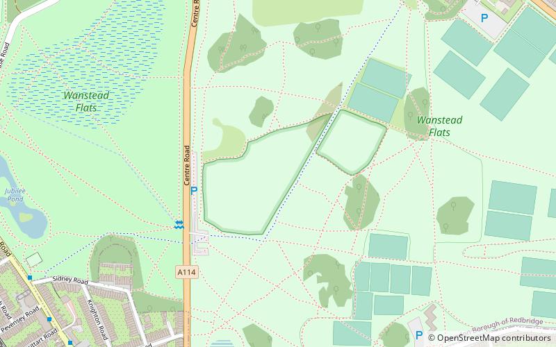
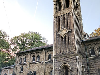
Nearby attractions include: Wanstead Flats, City of London Cemetery and Crematorium, St Peter-in-the-Forest, Wanstead Park.
Frequently Asked Questions (FAQ)
Which popular attractions are close to Wanstead?
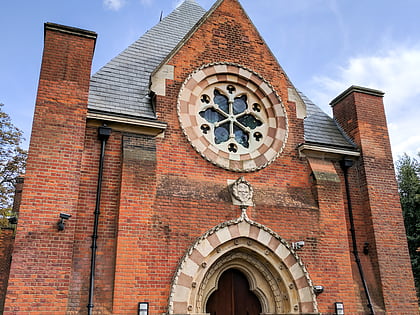
Nearby attractions include Wanstead Library, London (3 min walk), Wanstead United Reformed Church, London (7 min walk), Sukkat Shalom Reform Synagogue, London (17 min walk), Leytonstone Mosque, London (21 min walk).
How to get to Wanstead by public transport?
The nearest stations to Wanstead:
Bus
Metro
Train
Bus
- Wanstead Station • Lines: 145, 308, 66, N55, N8 (1 min walk)
- Wanstead Station / George Green • Lines: N55 (2 min walk)
Metro
- Wanstead • Lines: Central (1 min walk)
- Snaresbrook • Lines: Central (11 min walk)
Train
- Leytonstone High Road (31 min walk)

 Tube
Tube