Leytonstone Mosque, London

Gallery (1)
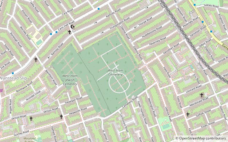
Map
Map
Facts and practical information
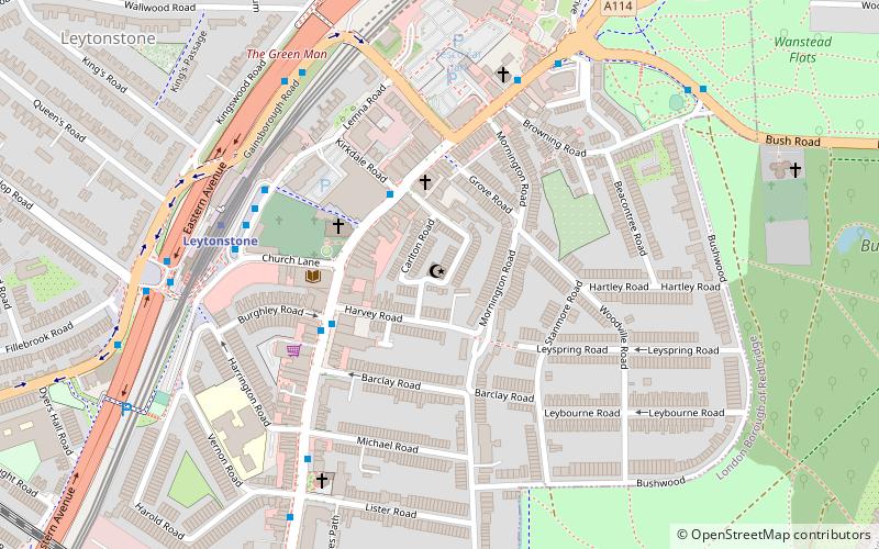
Leytonstone Mosque, situated in Bushwood, Leytonstone, in the London borough of Waltham Forest, was opened in 1976 to cater to the local Muslim community. Since then, the mosque has grown in size and can accommodate about 1,000. The organization, 'Muslims in Britain' classify the Leytonstone Mosque as, Deobandi. ()
Coordinates: 51°34'6"N, 0°0'46"E
Address
Watham Forest (Leytonstone)London
ContactAdd
Social media
Add
Getting there by public transportation
Public transportation stops near this location
- Metro
- Bus
- Train
 Metro
Metro
- Calculate routeLeytonstone Station 5 min walk
- Calculate routeGainsborough Road 6 min walk
- Calculate routeLeytonstone Station / Grove Green Road 7 min walk
- Calculate routeLeytonstone 5 min walk
- Calculate routeWanstead 22 min walk
- Calculate routeSnaresbrook 24 min walk
- Calculate routeLeyton 28 min walk
- Calculate routeLeytonstone High Road 10 min walk
- Calculate routeLeyton Midland Road 22 min walk
- Calculate routeWanstead Park 33 min walk
Maps Tube
Tube
TubeDay trips


Frequently Asked Questions (FAQ)
Which popular attractions are close to Leytonstone Mosque?
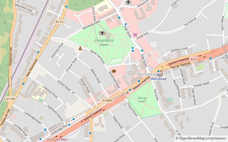
Nearby attractions include Leytonstone, London (9 min walk), Cathall, London (19 min walk), Wanstead Library, London (20 min walk), Wanstead, London (21 min walk).
How to get to Leytonstone Mosque by public transport?
The nearest stations to Leytonstone Mosque:
Bus
Metro
Train
Bus
- Leytonstone Station • Lines: W13 (5 min walk)
- Gainsborough Road • Lines: W19 (6 min walk)
Metro
- Leytonstone • Lines: Central (5 min walk)
- Wanstead • Lines: Central (22 min walk)
Train
- Leytonstone High Road (10 min walk)
- Leyton Midland Road (22 min walk)