Cathall, London
Map

Map

Facts and practical information
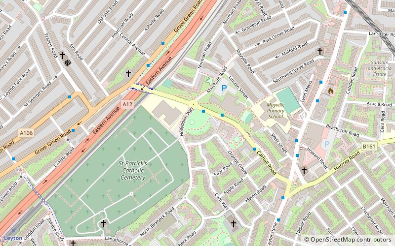
Cathall is a housing estate in the Cathall ward, Leytonstone, East London. It is currently managed by Community-based Housing Association. ()
Elevation: 59 ft a.s.l.Coordinates: 51°33'35"N, 0°0'10"E
Address
Watham Forest (Cathall)London
ContactAdd
Social media
Add
Day trips
Cathall – popular in the area (distance from the attraction)
Nearby attractions include: Westfield Stratford City, Matchroom Stadium, Lee Valley VeloPark, Lee Valley Hockey and Tennis Centre.
Frequently Asked Questions (FAQ)
Which popular attractions are close to Cathall?
Nearby attractions include St Eleutherius, London (17 min walk), Matchroom Stadium, London (17 min walk), West Ham Cemetery, London (18 min walk), Leytonstone Mosque, London (19 min walk).
How to get to Cathall by public transport?
The nearest stations to Cathall:
Bus
Train
Metro
Light rail
Bus
- Central Avenue • Lines: W15 (5 min walk)
- Francis Road • Lines: W15 (7 min walk)
Train
- Leytonstone High Road (10 min walk)
- Leyton Midland Road (21 min walk)
Metro
- Leyton • Lines: Central (10 min walk)
- Leytonstone • Lines: Central (17 min walk)
Light rail
- Stratford International Platform 2 • Lines: Si-Wa (28 min walk)

 Tube
Tube


