Torpoint Ferry, Plymouth


Facts and practical information
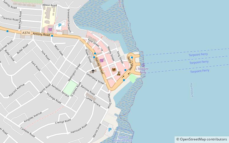
Torpoint Ferry (address: Fore St) is a place located in Plymouth (England kingdom) and belongs to the category of boat or ferry, transport, library.
It is situated at an altitude of 30 feet, and its geographical coordinates are 50°22'30"N latitude and 4°11'41"W longitude.
Planning a visit to this place, one can easily and conveniently get there by public transportation. Torpoint Ferry is a short distance from the following public transport stations: Dockyard (train, 25 min walk).
Among other places and attractions worth visiting in the area are: Torpoint (town, 12 min walk), Devonport Naval Heritage Centre, Bere Ferrers (museum, 18 min walk), HMNB Devonport, Bere Ferrers (archaeological site, 20 min walk).
Torpoint Ferry – popular in the area (distance from the attraction)
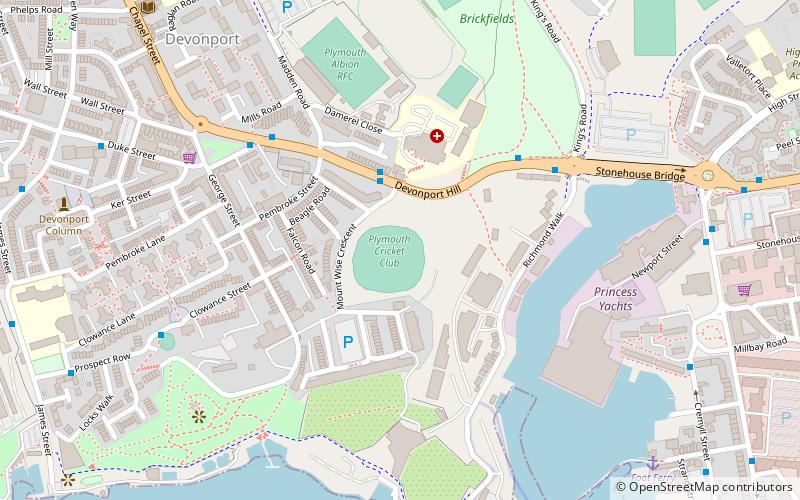
Nearby attractions include: Mount Wise, Cremyll School and Chapel, Devonport Park, Torpoint.
Frequently Asked Questions (FAQ)
Which popular attractions are close to Torpoint Ferry?
How to get to Torpoint Ferry by public transport?
Train
- Dockyard (25 min walk)
- Devonport (28 min walk)


