Westgate Methodist Chapel
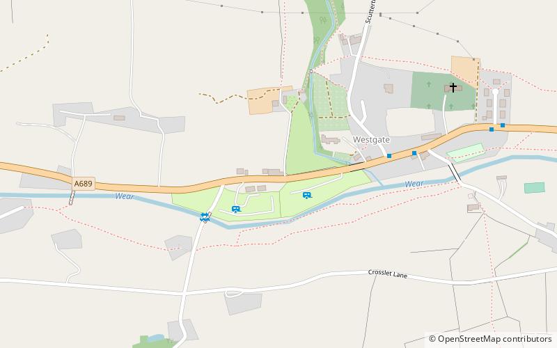
Map
Map

Facts and practical information
Westgate Methodist Chapel stands on the A689 road in the village of Westgate, some 5 miles west of Stanhope, County Durham, England. It is a redundant chapel under the care of the Historic Chapels Trust, and is recorded in the National Heritage List for England as a designated Grade II* listed building. ()
Completed: 1871 (155 years ago)Coordinates: 54°44'14"N, 2°8'54"W
Day trips
Westgate Methodist Chapel – popular in the area (distance from the attraction)
Nearby attractions include: North of England Lead Mining Museum, Slit Woods, Fairy Holes Cave, Westernhope Burn Wood.


