Westernhope Burn Wood
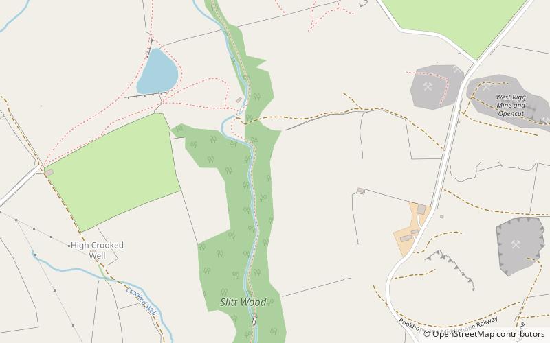
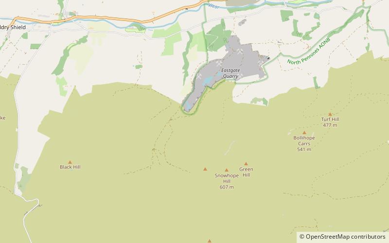
Map
Facts and practical information
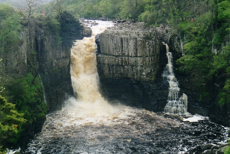
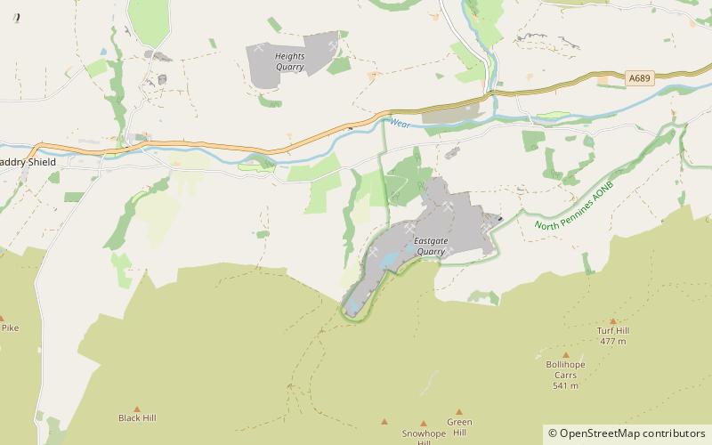
Westernhope Burn Wood is a Site of Special Scientific Interest in the Wear Valley district of south-west County Durham, England. It occupies the steeply-incised ravine of the Westernhope Burn, a tributary of the River Wear, which it joins from the south about halfway between the villages of Eastgate and Westgate. ()
Established: 1976 (50 years ago)Coordinates: 54°43'45"N, 2°6'6"W
Day trips