Trek Zone

Slit Woods

#1878 among destinations in the United Kingdom

Nature, Natural attraction, Forest
Slit Woods location map
Map

Facts and practical information
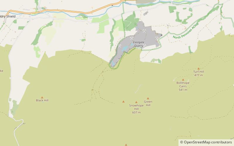
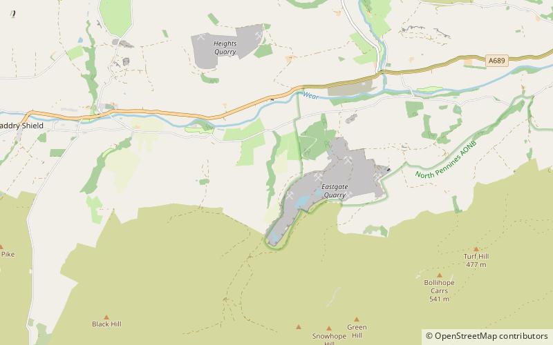
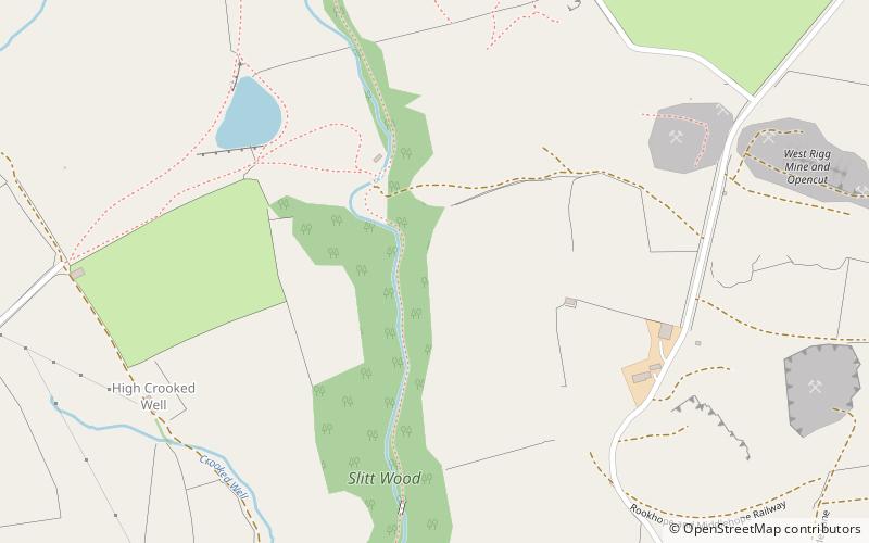
Established: 1976 (48 years ago)Coordinates: 54°44'47"N, 2°8'48"W
Location

EnglandUnited Kingdom

Contact
Social media
Add
Day trips

Slit Woods – popular in the area (distance from the attraction)

Nearby attractions include: North of England Lead Mining Museum, Fairy Holes Cave, Westernhope Burn Wood, Westgate Methodist Chapel.

  • north of england lead mining museum stanhope5.6 miNW
  • fairy holes cave location map
    2.8 miSE
  • westernhope burn wood location map
    2.2 miSE
  • westgate methodist chapel0.6 miS
  • burnhope reservoir north pennines4 miW
  • heathery burn cave5.2 miE
  • harthope moss location map
    3.8 miSW

Where to next? Visit england England region page or discover the top tourist attractions in United Kingdom.