Drinkwater Park, Manchester
Map

Gallery

Facts and practical information
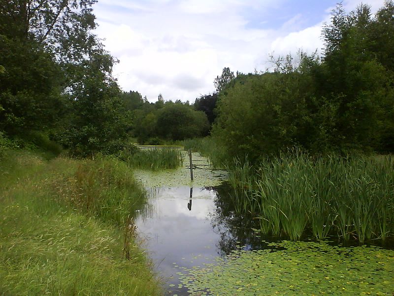
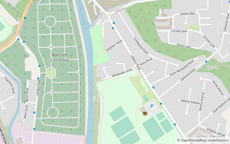
Drinkwater Park is situated in the Irwell Valley on the western border of Prestwich, near Manchester, bounded by the River Irwell to the west, Agecroft Road and Rainsough Brow to the south, Butterstile Lane and Carr Clough estate to the east and Bunkers Hill to the north. The park is administered by Forestry England and is part of Prestwich Forest Park, which also incorporates Philips Park, Mere Clough, Prestwich Clough, Forest Bank Park in Pendlebury and Waterdale Meadow. ()
Elevation: 125 ft a.s.l.Coordinates: 53°31'12"N, 2°17'56"W
Address
PrestwichManchester
ContactAdd
Social media
Add
Day trips
Drinkwater Park – popular in the area (distance from the attraction)
Nearby attractions include: Kersal Moor, Church of St Mary the Virgin, Philips Park, Victoria Park.
Frequently Asked Questions (FAQ)
Which popular attractions are close to Drinkwater Park?
Nearby attractions include Agecroft Cemetery, Manchester (19 min walk), Kersal Priory, Manchester (21 min walk), Clifton Viaduct, Manchester (21 min walk), Church of St Mary the Virgin, Manchester (22 min walk).
How to get to Drinkwater Park by public transport?
The nearest stations to Drinkwater Park:
Bus
Train
Tram
Bus
- Agecroft Road/Langley Road • Lines: 74 (15 min walk)
- Langley Road/Cemetery Lodge • Lines: 74 (19 min walk)
Train
- Clifton (17 min walk)
Tram
- Prestwich • Lines: Altr, Bury, Picc (30 min walk)

 Metrolink
 Metrolink / Rail


