Bishopwearmouth Cemetery, Sunderland
Map
Gallery
Facts and practical information
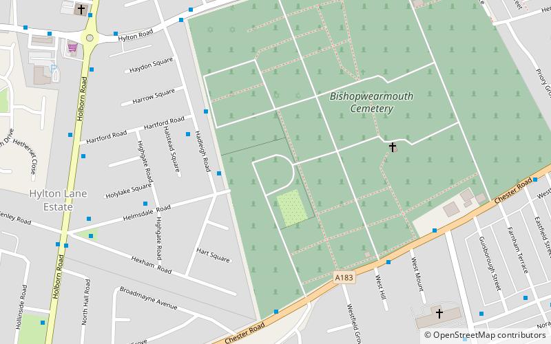
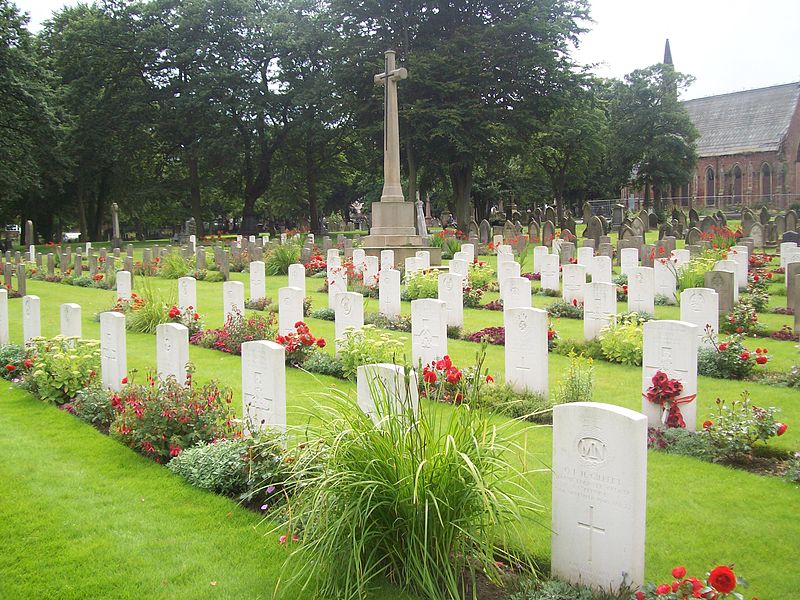
Bishopwearmouth Cemetery is a cemetery in Sunderland, Tyne and Wear, England. It lies between Hylton Road and Chester Road. ()
Established: 1856 (170 years ago)Coordinates: 54°53'57"N, 1°25'21"W
Address
Sunderland
ContactAdd
Social media
Add
Day trips
Bishopwearmouth Cemetery – popular in the area (distance from the attraction)
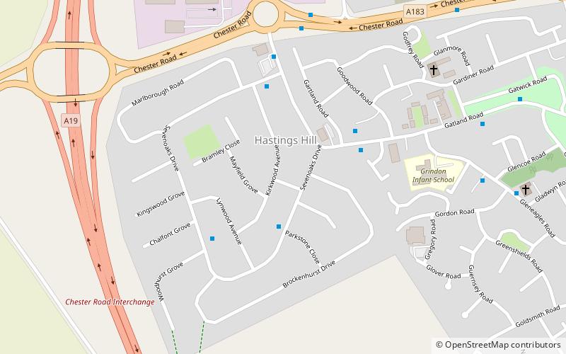
Nearby attractions include: Queen Alexandra Bridge, Barnes Park, Northern Spire Bridge, Hastings Hill.
Frequently Asked Questions (FAQ)
Which popular attractions are close to Bishopwearmouth Cemetery?
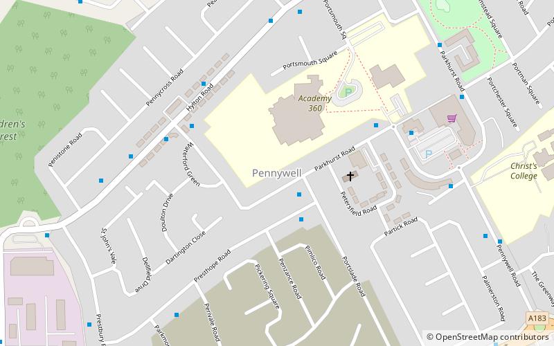
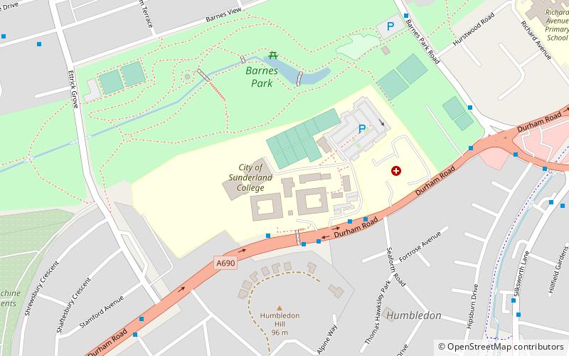
Nearby attractions include Barnes Park, Sunderland (16 min walk), Sunderland College, Sunderland (18 min walk), Pennywell, Sunderland (24 min walk).
How to get to Bishopwearmouth Cemetery by public transport?
The nearest stations to Bishopwearmouth Cemetery:
Light rail
Bus
Light rail
- Pallion • Lines: Green (25 min walk)
- Millfield • Lines: Green (26 min walk)
Bus
- Pallion New Road-Woodbine Terrace-E/B • Lines: Sns (25 min walk)


