Thorpe Cloud, Peak District

Gallery (3)
Map
Map
Gallery
Facts and practical information
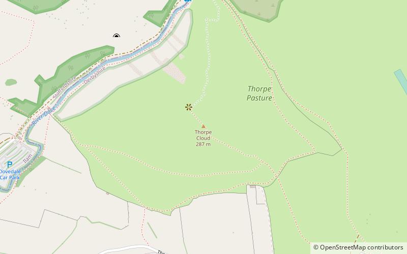
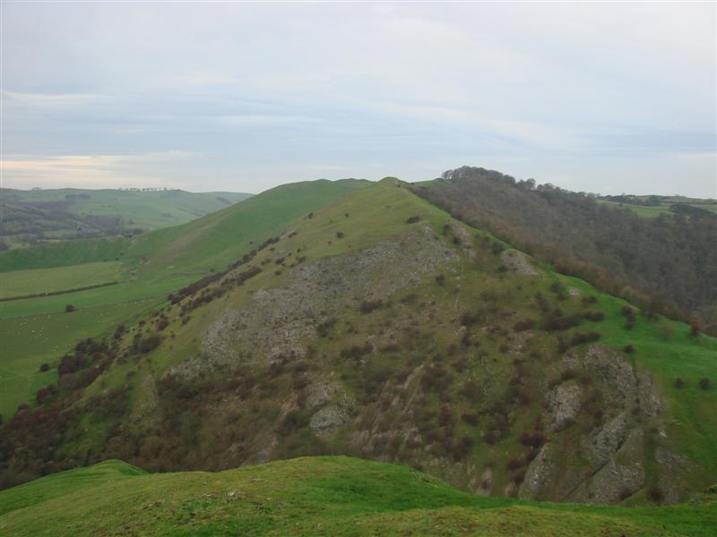
Thorpe Cloud is an isolated limestone hill lying between the villages of Thorpe and Ilam on the Derbyshire/Staffordshire border at the southern end of Dovedale. It is a popular hill amongst the many day-trippers who visit the area, and provides a fine viewpoint north up the dale and south across the Midland plain. ()
Elevation: 942 ftProminence: 259 ftCoordinates: 53°3'22"N, 1°46'30"W
Address
Peak District
ContactAdd
Social media
Add
Day trips


