Ballidon Dale, Peak District
Map

Gallery

Facts and practical information
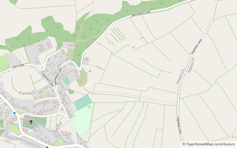
Ballidon Dale is a steep-sided, dry carboniferous limestone valley near Parwich in the Derbyshire Peak District of England. The ancient hamlet of Ballidon lies at the southern foot of the dale. Ballidon Quarry and Hoe Grange limestone quarries now dominate the west side of the dale. ()
Coordinates: 53°5'17"N, 1°42'50"W
Address
Peak District
ContactAdd
Social media
Add
Day trips
Ballidon Dale – popular in the area (distance from the attraction)
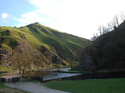
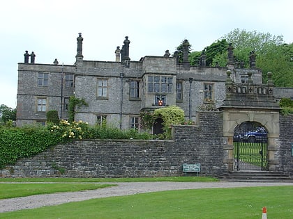
Nearby attractions include: Dovedale, Thorpe Cloud, Tissington Hall, Carsington Water.
Frequently Asked Questions (FAQ)
Which popular attractions are close to Ballidon Dale?
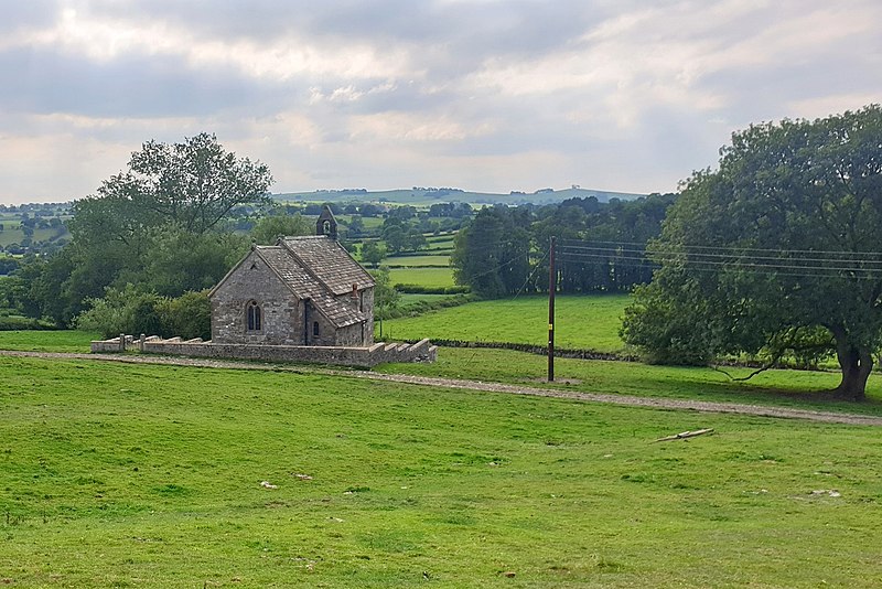
Nearby attractions include St Peter's Church, Peak District (8 min walk), All Saints Church, Peak District (18 min walk).


