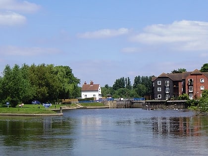
Oxford Science Park, Oxford
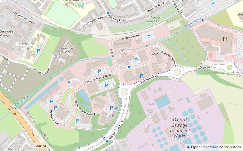
Map
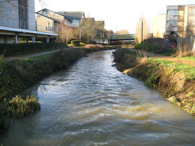
Gallery
Facts and practical information
The Oxford Science Park is a science and technology park located on the southern edge of the city of Oxford, England. It was officially opened in 1991 and is owned by Magdalen College, Oxford. The park maintains strong links with the nearby University of Oxford and currently contains just over 60 companies. ()
Elevation: 207 ft a.s.l.Coordinates: 51°42'57"N, 1°13'6"W
Address
LittlemoreOxford
ContactAdd
Social media
Add
Day trips
Oxford Science Park – popular in the area (distance from the attraction)
Nearby attractions include: Kassam Stadium, Templars Square, Oxford Stadium, St. Mary the Virgin Church.
Frequently Asked Questions (FAQ)
Which popular attractions are close to Oxford Science Park?
Nearby attractions include Church of St Mary and St Nicholas, Oxford (11 min walk), Kassam Stadium, Oxford (12 min walk), Sandford-on-Thames, Oxford (16 min walk), Sandford Lock, Oxford (21 min walk).
How to get to Oxford Science Park by public transport?
The nearest stations to Oxford Science Park:
Bus
Bus
- Magdalen Centre • Lines: 3A (1 min walk)
- Science Park Sadler Building • Lines: 3A (5 min walk)
