Culcheth Methodist Church, Warrington

Gallery (1)
Map
Map
Facts and practical information
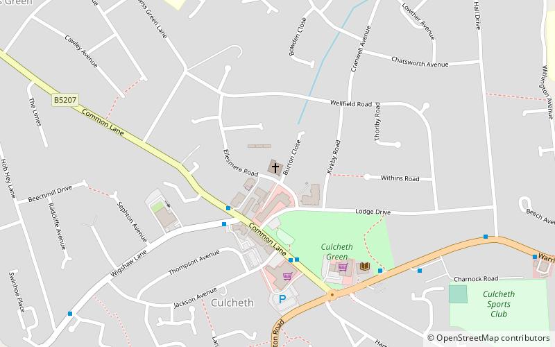
Culcheth Methodist Church is in the village of Culcheth, Warrington, England, at the corner of Ellesmere Road and Burton Close, a short walk from the village green. ()
Coordinates: 53°27'15"N, 2°31'16"W
Getting there by public transportation
Public transportation stops near this location
- Bus
 Bus
Bus
- Calculate routeCPS Centre 3 min walk
- Calculate routeLibrary 5 min walk
- Calculate routeCulcheth Garage 9 min walk
Day trips


Frequently Asked Questions (FAQ)
How to get to Culcheth Methodist Church by public transport?
The nearest stations to Culcheth Methodist Church:
Bus
Bus
- CPS Centre • Lines: 19 (3 min walk)
- Library • Lines: 19 (5 min walk)