Rixton Clay Pits, Warrington
Map

Map

Facts and practical information
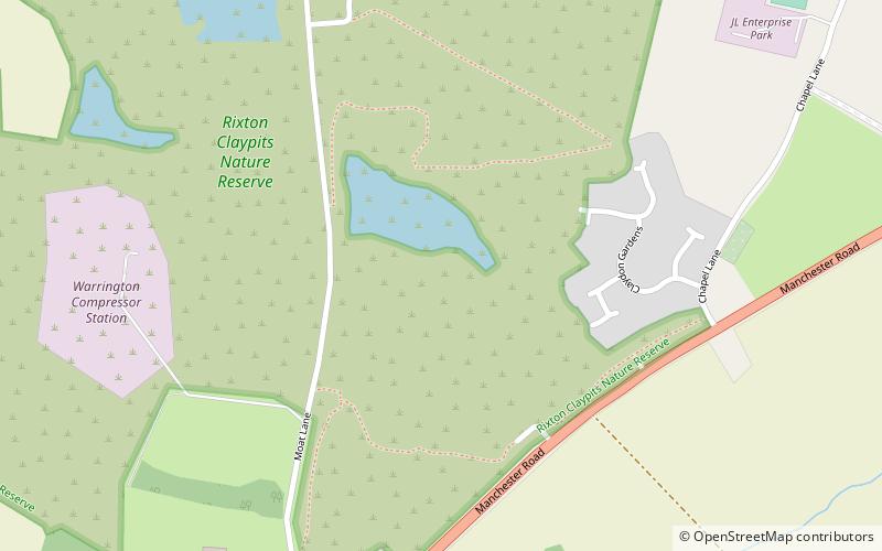
Rixton Clay Pits is a former clay extraction site in Rixton, near Hollins Green, Warrington, England. Formerly farmland, boulder clay extraction started in the 1920s for brick making in the adjacent brickworks, and ceased in 1965 - since then it has been allowed to return to nature. It is now an area of ponds, scrub, woodland and damp grassland. It is owned and managed by Warrington Borough Council as a local amenity. ()
Elevation: 66 ft a.s.l.Coordinates: 53°24'32"N, 2°28'30"W
Day trips
Rixton Clay Pits – popular in the area (distance from the attraction)
Nearby attractions include: Dunham Massey Hall, St Wilfrid's Church, St Mary's Church, Risley Moss.
Frequently Asked Questions (FAQ)
How to get to Rixton Clay Pits by public transport?
The nearest stations to Rixton Clay Pits:
Bus
Bus
- Eagle and Child • Lines: 100 (21 min walk)
- The Red Lion • Lines: 100 (22 min walk)


