Risley Moss, Warrington
Map

Gallery

Facts and practical information
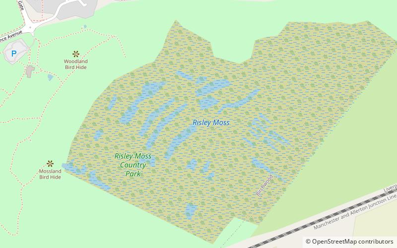
Risley Moss is an area of peat bog situated near Birchwood in Warrington, England. It is a country park, Site of Special Scientific Interest and a Local Nature Reserve. It covers an area of 210.5 acres and is one of the last remaining fragments of the raised bogs that once covered large areas of South Lancashire and North Cheshire. ()
Elevation: 75 ft a.s.l.Coordinates: 53°25'22"N, 2°29'57"W
Address
Warrington
ContactAdd
Social media
Add
Day trips
Risley Moss – popular in the area (distance from the attraction)
Nearby attractions include: St Wilfrid's Church, Rixton Clay Pits, St Mary's Church, St Werburgh's Church.
Frequently Asked Questions (FAQ)
How to get to Risley Moss by public transport?
The nearest stations to Risley Moss:
Train
Train
- Birchwood (33 min walk)


