All Saints' Church, Maidenhead

Gallery (1)
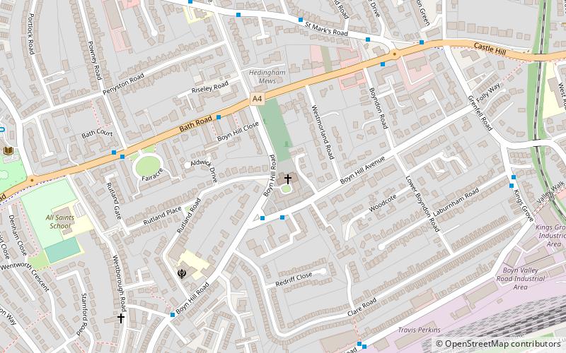
Map
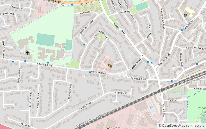
Map
Facts and practical information
All Saints' Church at Boyne Hill is a Grade I listed Church of England parish church in Maidenhead in the English county of Berkshire. ()
Coordinates: 51°31'12"N, 0°44'12"W
Getting there by public transportation
Public transportation stops near this location
- Bus
- Train
 Bus
Bus
- Calculate routeFrascati Way 14 min walk
- Calculate routeGrenfell Place 15 min walk
- Calculate routeRailway Bridge 18 min walk
- Calculate routeBroadway 18 min walk
- Calculate routeMaidenhead 16 min walk
- Calculate routeFurze Platt 25 min walk
Day trips


Frequently Asked Questions (FAQ)
Which popular attractions are close to All Saints' Church?
Nearby attractions include The Gullet, Maidenhead (9 min walk), Norden Farm Centre for the Arts, Maidenhead (14 min walk), St Luke's Church, Maidenhead (19 min walk), Maidenhead Heritage Centre, Maidenhead (20 min walk).
How to get to All Saints' Church by public transport?
The nearest stations to All Saints' Church:
Bus
Train
Bus
- Frascati Way • Lines: 15, 4, 63, 68 (14 min walk)
- Grenfell Place • Lines: 4 (15 min walk)
Train
- Maidenhead (16 min walk)
- Furze Platt (25 min walk)